Disaster map facilitates mitigation of natural disasters
It is necessary to understand natural disasters in order to mitigate the damage they cause to people’s lives and properties. For that reason, a map titled "Atlas of Natural Disasters in Vietnam” (for the mainland) has been issued by Prof. Nguyen Trong Yem, Dr. Nguyen Quoc Thanh, and scientists from the Institute of Geology (under the Vietnam Academy of Science and Technology), with support from the coordinating agencies concerned, laying a basis for managing natural disasters at the macro-level in Vietnam.

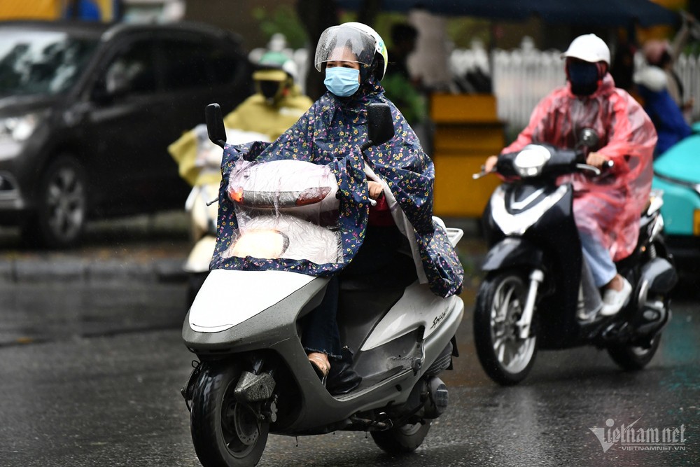
Understanding natural disasters is important to mitigate the damage they cause. (Photo: NDO)
After five years of research, on the basis of the integration of factors affecting the formation and development of each type of disaster, the results of the study have been mapped in order to provide a warning of the 12 most dangerous natural disasters that have caused huge damages in Vietnam, including storms, droughts, floods, slides, flash floods, cavitation, karst, river bank erosion, salinity intrusion, coast erosion, earthquakes and soil cracking.
In contrast to previous studies on natural disasters, mostly interpreted through text, the results of the atlas study are based on the form of a map that is considered as a new and effective research method, making it easier to understand.
Each type of disaster is shown in a separate chapter in which the typical characteristics are reflected in 1:3,000,000-scale maps. The important and specific features are shown in each map and diagram. Meanwhile, the concepts and characteristics of each disaster, as well as the main solutions to prevent and mitigate the damages caused by natural disasters are briefly described in text.
Prof. Nguyen Trong Yem, head of research group, shared that the most difficult aspect in the research process was making a unified viewpoint for implementation among the group members. For example, for the most dangerous natural disasters in our country, typhoons, for a long time Vietnam used the concept of “hurricane speed” to describe its danger level, but the new map shows five levels of risk at very low, low, moderate, high, and very high on the basis of wind speed and rainfall during the storm.
With storms, for example, the warning is set at a very low level when the statistics on a hazard map shows a wind speed of less than 20 m/s and rainfall less than 50mm; and the risk of storms is very high when the wind speed is at more than 50 m/s and rainfall over 200mm. The typhoon-risk region shown on the map also unifies the assessment criteria to illustrate the vulnerability of regions and sub-areas against storms, showing the statistics on the average number of storms per year, the stormiest months, and the highest level of water during the storms.
Caution of landslides, flash floods and mudslides are indicated on the map with high risk areas, including the eastern flank of Hoang Lien Son Mountain Range and the right bank of Red River covering Bat Xat district, Sa Pa town and Lao Cai city; Nam Lay River basin in Muong Cha district and Nam Rom River covering part of Dien Bien Dong district, Dien Bien Tay district and Dien Bien city; as well as the upper reaches of the Gam River in Yen Minh district, the left bank of Chay River and the right bank of Lo River in Xin Man and Hoang Su Phi districts (Ha Giang province). These critical areas are shown on the map with the distribution of the disaster risks at five different levels.
 |
Many parts of Mu Cang Chai district in Yen Bai province were left ruined after a flash flood in October last year. (Photo: NDO)
From the necessary information on the map, the managers and experts concerned can work out effective solutions in natural disaster prevention and control, as well as in production restructuring, infrastructure construction and population distribution, in addition to serving natural disaster forecasts and the warning of occurrence of accidents.
Dr. Nguyen Quoc Thanh suggested that, before making investment decisions, investors should refer to disaster risks, but in fact, many of them have not paid attention to the issue yet, leading to a lot of unfortunate losses. For example, the Thac Ba Hydroelectric Dam (in Yen Bai province) was built on the site of the Chay River fault zone (the Red River - Chay River fault system), but poor geological research resulted in inadequate quality of the facility. The investors had to labour to consolidate the dam afterwards.
In Chi Linh (Hai Duong), there was several construction works which cracked for unknown causes. Experts found out that soil cracking led to the issue and suggested consolidating the foundation.
The National Highway No. 4E’s Km 8 section, crossing Trung Trai commune, Sa Pa district (Lao Cai province), suffered from sinking from 30-50cm per year in 2006. Land compensation for the subsided part could not solve the problem as the road was continuing to sink. Surveys showed that the reason was that the road was situated on a sliding block. Scientists suggested making a viaduct across the block.
When Sa Pa and Bat Xat districts (Lao Cai province) planned to build their administrative centres, scientists were also invited to take part in the assessment of the risk of landslides and ground treatment to ensure safety.
Geological scientists consider the atlas as a useful material to help tackle the above situations as it shows which areas are safe and less risky for investment and construction or offers solutions to prevent risks and ensure safety for key facilities, especially hydroelectric projects, chemical plants, dams and lakes.
Publishing the map is the first step of the project, but the deployment in practice for localities and for study and research should undergo proper dissemination from the concerned ministries and agencies to avoid unnecessary damage due to a lack of knowledge about disaster risks./.
VNF/NDO


Most read


Recommended
 National
Vietnam News Today (Apr. 19): Vietnam, UK Sign New Agreement on Illegal Migration
 National
Czech Senate President Proposes Opening Hanoi - Prague Flight Soon
 National
Vietnam News Today (Apr. 18): Vietnam, Russia Bolster Education, Training Collaboration
 National
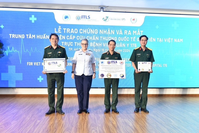
First Int'l Trauma Life Support Training Center Launched in Vietnam
Popular article
 National
Vietnam News Today (Apr. 17): Vietnam And Hungary Review Effectiveness of Cooperation Agreements
 National
Vietnam News Today (Apr. 16): Australia Supports Climate Action Cooperation With Vietnam
 National
Vietnam News Today (Apr. 15): Vietnam Supports UN’s Humanitarian Aid For Palestinians
 National