Old western maps affirm Hoang Sa, Truong Sa belong to Vietnam


 |
| The East India map by Pieter or Petrus in 1594. |
These map drawn by Western cartographers proves Vietnam's sovereignty over Hoang Sa and Truong Sa, was provided by the Da Nang-based Institute for Socio-economic Development Studies, and was compiled, gathered and systematized by Assoc.Prof. Dr. Truong Minh Duc in the book “Vietnam’s sovereignty over the Hoang Sa and Truong Sa archipelagos in domestic and international documents” (published by Information and Communication Publishing House in 2015).
Western and Eastern history from the past to present has shown that sovereignty is a sacred matter for every single country. Thus, the development process of each nation has shaped the national awareness of country sovereignty and protection of its sacred sovereignty. The historical evidence which have been publicized are the historical and legal foundation affirming Vietnam’s sovereign over Hoang Sa and Truong Sa archipelagos.
East India map by Pieter or Petrus in 1594
This map drawn by Petrus or Pieter in 1594 shows the two archipelagos of Hoang Sa and Truong Sa in the East Sea with the common name Pracel, while the territorial territory is recorded as Costa de Pracel (Hoang Sa Coast).
 |
| The India Orientalis (East of India) was drawn by Jodocus Hondius in 1613. On this map, Hoang Sa and Truong Sa islands were connected like a blade under the name Pracel. |
The India Orientalis (East of India) was drawn by Jodocus Hondius in 1613. On this map, Hoang Sa and Truong Sa islands were connected like a blade under the name Pracel.
In the map made by Jodocus Hondius in 1613, the Frael (Hoang Sa) archipelago includes all the islands located from the Tonkin Gulf to Vietnam’s southern sea, except for Condor (Con Dao) and Pulo Cici (Phu Quoc), which were drawn separately.
 |
| Carte de l'Asia (Map of Asia) was created by Homann Herrs in 1744. |
Carte de l'Asia map by Homann Heirs in 1744
Carte de l'Asia (Map of Asia) was created by Homann Herrs in 1744. On this map, the Paracel Islands (including the Spratly Islands) is noted as "I. Ciampa," which stands for "Islands Ciampa”, meaning "The islands of the Kingdom of Ciampa". Ciempa or Campala are the names of the Cochin called by Western countries at that time since they believed that this kingdom was the old land of the Champa Kingdom.
 |
| The caption Paracel seu Cat Vang (Paracel or Cat Vang) in a map made by Bishop Jean-Louis Taberd, which was written in Han (Chinese), Quoc Ngu (standard Vietnamese) and Latin languages, means that Hoang Sa islands belong to Vietnam. |
An Nam Dai quoc hoa do
The map of An Nam Dai quoc hoa do (The Great Annam Map), by Bishop Jean Louis Taberd in 1838 has the caption Paracel seu Cat Vang (Paracel means golden sand), which was written in Han (Chinese), Quoc Ngu (standard Vietnamese) and Latin languages. Bishop Taberd is the author of an article in The Journal of the Asiatic Society of Bengal, volume 6, second part, 1837, published in Calcutta, which confirmed "Paracels or Pracel, i.e., Hoang Sa – Con Vang, belongs to Cochinchina" – that is, to Vietnam. The original map is now kept at the Richelieu National Library in Paris, France.
That’s the implicit way that the world has recognized that the Paracel Islands truly belong to the sovereignty of Vietnam for at least the past five centuries.
The maritime sovereignty in general and sovereignty over Hoang Sa and Truong Sa archipelagos in particular is a huge and complicated issue. The documents that are systemized and published in this book are the foundation for further researches, thereby playing a part in completing legal record by administrative office and scientific research organizations in the struggle to protect and assert Vietnam’s sovereignty over Hoang Sa and Truong Sa archipelagos./.
Related Stories
 Seas and islands
Overseas Vietnamese in France Recall Visits to Truong Sa Archipelago in Gathering
 Focus
Focus
VUFO Delegation Visits Soldiers, Residents in Truong Sa Island District
Recommended
 Viet's Home
Hue City to Raise Awareness on Mine Accident Prevention
 Focus
Focus
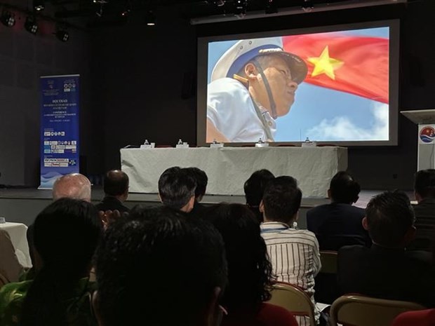
Vietnam Leaves Imprints on the World Peacekeeping Map
 Viet's Home
“Global Vietnamese Singing 2025” - Connecting Hearts Longing for Homeland
 Viet's Home
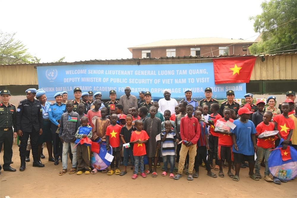
Vietnam’s People's Public Security Force Actively Contributes to UN Peacekeeping Operations
 Viet's Home
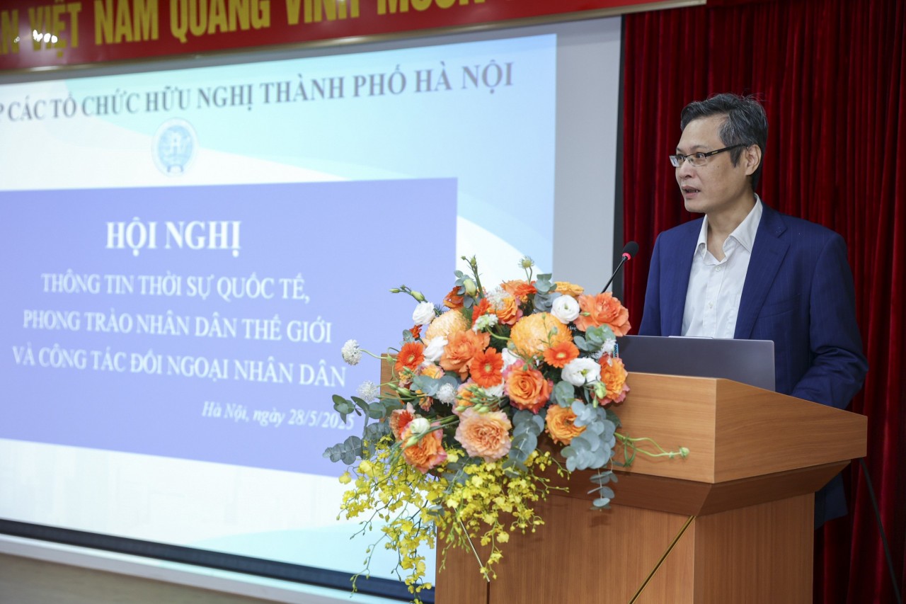
HAUFO Enhances Competence of People-to-People Diplomacy Personnel
 Viet's Home
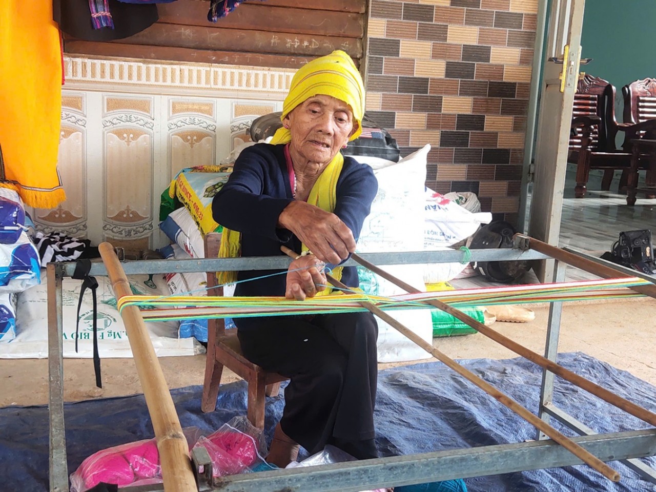
Hands that Reserve Da Long Brocade Craft
 Viet's Home
Da Rsal – How Digital Transformation Reshape a Poor Commune
 Viet's Home