Historical Values and Nature Conservation at Bu Gia Map National Park
Bu Gia Map National Park is one of the natural ecosystems in Binh Phuoc province. This magnificent destination not only attracts tourists by its unique name, but Bu Gia Map is also known as one of the majestic and eye-catching natural wonders.
 |
| Bu Gia Map National Park is one of the natural ecosystems in Binh Phuoc province. Photo: GDTD |
With an area of more than 26 hectares, Bu Gia Map National Park is considered one of the places that owns the largest ecosystem in the southern region. This place is also one of the watershed protection forests to protect water sources for hydropower reservoirs: Can Don, Srok Phu Mieng, and Mo Waterfall.
The flora at the national park has 724 species in 326 genera, 109 families, 70 orders belonging to 6 different plant branches. The forests here still ensure the nature of the primeval forest, with most of them belonging to rare and precious species of oilseeds and legumes such as rosewood, red oak, ebony, flower slices, honeycomb, heather, rosemary, etc. In addition, the national park area has 278 varieties of medicinal plants.
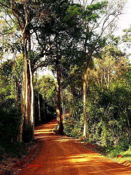 |
| The flora at the national park has 724 species in 326 genera, 109 families, 70 orders belonging to 6 different plant branches. Photo: GDTD |
In particular, Bu Gia Map National Park still retains its pristine beauty with rare varieties of hemp and legume trees: redwood, rosewood, etc. At the same time, the park also has a diverse primary system from low-lying trees. until the high floor forms layers of eye-catching green trees.
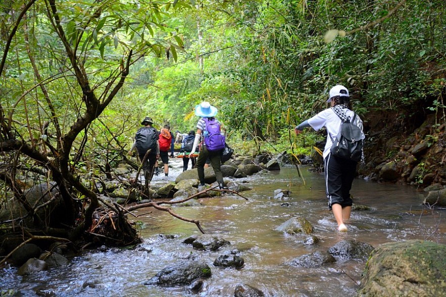
It also owns a beautiful border line with all kinds of different flora. Bu Gia Map National Park not only provides an interesting experience for visitors' journey to discover nature, but also a place for visitors to contemplate life, be challenged and discover the possibility of survival. Cross the forest and wade through your own streams.
 |
| Photo: GDTD |
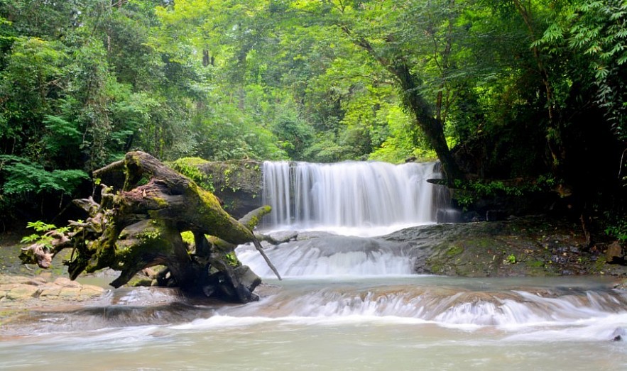
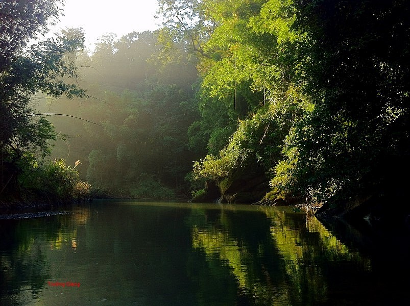
There are currently more than 20 streams, waterfalls, and caves in Bu Gia Map National Park, including Luu Ly Waterfall, Nai Cave, Bat Cave, and so on. Tourists visiting Bu Gia Map National Park will experience the natural breeze and hear the sound of gurgling water and babblers. Together, they create a novel and fascinating orchestra of nature, trees, and life.
According to official information from the National Center for Nature Conservation, Bu Gia Map National Park is currently one of the two largest national parks in Vietnam and one of the ecological zones in the conservation priority corridor of the National Park Service in the Mekong sub-region.
 |
| Photo: GDTD |
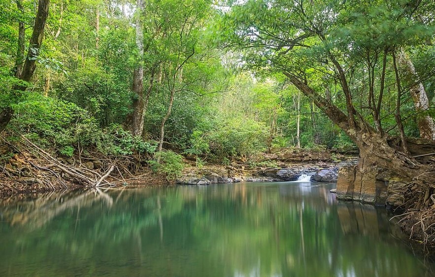
This place is not only a place to seek out a variety of rare and precious creatures, plants and animals of the Central Highlands and the Southeast, but also a place to preserve many rare animals and biological research.
 |
| Photo: GDTD |
| Bu Gia Map National Park is located in the Vietnamese province of Binh Phuoc. The Bu Gia Map National Park has 26,032 hectares in size. A 15,200-hectare buffer zone surrounds the park. The region had been designated as a conservation area until 2002, when the incumbent Prime Minister declared it a national park on November 27. Much of the Bu Gia Map National Park is located in the Central Highlands' southern portions. The area's highest point is 700 meters above sea level. Several river systems feed the national park, including the Dak Huyet and Dak Sam rivers. The park also contains the headwaters of the Thac Mo and Can Don hydropower projects. |
 | Exhibition Brings Historical Architecture Alive An exhibition showcases the history of Vietnamese architecture through beautiful and colorful painting |
 | Hanoi Relic Sites Welcome Visitors Back Hanoi's authorities allowed to reopen relic sites and welcomed a moderate number of visitors since February 15. |
 | The Best Winter Spots to Visit in Con Dao Here are some of the best things to do in Con Dao, Vietnam's island paradise soaked in history. |
Recommended
![[Photo] Peace Boat delegates immersed in Quang Ninh's Hues](https://vietnamtimes.org.vn/stores/news_dataimages/2025/052025/03/13/15ba8cdc6fa53a282f0ef99e14eb9cc5.jpg?rt=20250503130632) Multimedia
Multimedia
[Photo] Peace Boat delegates immersed in Quang Ninh's Hues
 Multimedia
Hanoi Hosts Friendship Exchange Celebrating 2025 Traditional New Year of Asian Countries
 Multimedia
Vietnamese People's Army Forcers in full dress parade rehearsal to celebrate the 50th anniversary of National Reunification
 Multimedia
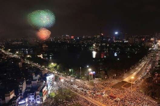
In pictures: Fireworks Display in Hanoi Celebrates national reunification day
Popular article
 Multimedia
Phong Nha-Ke Bang National Park Named Top Adventure Travel Site
 Multimedia
1,000 Women in Traditional Ao Dai Form Vietnam Map at Hoan Kiem Lake
 Multimedia
Vietnam’s Textile Industry Strengthens Position in Global Supply Chains
 Multimedia


