Map Affirming Vietnam's Sovereignty Presented to House of European History
Vice President of the Diplomatic Academy of Vietnam (DAV) Nguyen Hung Son has presented the “An Nam dai quoc hoa do” (Map of the Great Country of An Nam) to the House of European History in Brussels, Belgium, VNA reported Saturday.
 |
| Vice President of the Diplomatic Academy of Vietnam Nguyen Hung Son (third, right) presents the map to Simina Badica from the House of European History. Photo: VNA |
The special map, which is 84cm long and 45cm wide, was drawn by Jean Louis Taberd of France and published in India's Serampore in 1838. It was the largest and fullest map of Vietnam at that time. Its name was written in three languages – Han (Chinese characters), Vietnamese national scripts and Latin scripts.
It depicts the archipelago of “Paracel seu Cat Vang” - Hoang Sa islands within Vietnam’s waters territory.
The “Paracel seu Cat Vang” showed in the map affirmed that the archipelago is Cat Vang, also called Hoang Sa by then Vietnamese.
All landmarks on the map, including those in China, Laos and Cambodia, are written in Vietnamese scripts, while the footnotes are written in Vietnamese, Latin and French characters.
Vietnam was the first country to have established sovereignty over the Hoang Sa (known as Paracel) and Truong Sa (Spartly) archipelagos when they were unclaimed territories.
Under the reign of Emperor Gia Long (1802-1820) Vietnam’s sovereignty over the Hoang Sa archipelago was further strengthened.
In 1805, the King ordered a land survey from the south to the north of the country and requested the making of administrative documents on land areas, which was completed in 1836.
The emperor also re-established the Hoang Sa flotilla and its affiliated unit, the Bac Hai flotilla, with the aim of managing, protecting, and exploiting Hoang Sa and Truong Sa.
The activities of the Hoang Sa flotilla are recorded in the two main national history books of Vietnam under the Nguyen Dynasty: Đại Nam Thực Lục tiền biên, published in 1844, and Đại Nam Thực Lục chính biên, in 1848.
 |
| The “An Nam dai quoc hoa do” (Map of the Great Country of An Nam) (Photo: VNA |
Speaking to the VNA, Son, who is also director-general of the East Sea Institute, said that the presenting of the map to the House of European History is an idea of the Vietnamese Embassy in Brussels, showing the close relations between Vietnam and Belgium in all fields of politics, culture and history.
It also reflects Vietnam’s wish to help European friends get better understanding of Vietnamese history and give them an deeper insight into the history of the East Sea and the current situation of the waters.
| The House of European History in Brussels, Belgium was opened in May 2017 following an initiative of the European Parliament. The museum retraces the history of Europe since 1789 through different exhibitions available in all 24 official European Union languages. |
Simina Badica, a curator at the House of European History, said that the museum is keeping and exhibiting items from more than 200 countries.
She expressed her delight to receive the map from Vietnam, which will help researchers and visitors understand more about the geographical history of Vietnam.
This is the first time that the house has received an item from Vietnam, she noted, showing her hope that cooperation and exchange between the two sides in history and culture will continue to expand.
During his stay in Belgium and Europe, Son on June 17 also received 13 sets of documents on Vietnamese border and territory from international law professor Jean Salmon, including a valuable document set on Vietnam’s Hoang Sa archipelago written in 1960.
 |
| Nguyen Hung Son, director-general of the East Sea Institute, receives precious document set on Vietnam’s Hoang Sa archipelago written in 1960 from Prof. Jean Salmon. Photo: VNA |
Professor Jean Salmon, 91, once worked as a lawyer and lecturer of international law at the Free University of Brussels, and an advisor of the Vietnam National Border Committee on border-related issues and diplomatic rules.
| Hoang Sa (Paracel) and Truong Sa (Spratly) archipelagos have always been sacred integral parts of Vietnam, as the country has historical evidence and a fully legal basis to affirm its sovereignty over the Hoang Sa and Truong Sa in accordance with international law. Vietnam has built an exhibition centre, located on Hoang Sa Street, Son Tra District, central Da Nang city, to display and archive historical documents, exhibits and images which testify to Vietnam’s legitimate sovereignty over the two archipelagos. Since being put into operation in March 2018, the exhibition centre has become a place to popularise and affirm Vietnam's sovereignty over the Hoang Sa and Truong Sa archipelagos, thereby promoting the spirit and will to protect the homeland’s territory among the people. |
 | The "Volunteer Ambassador" of Vietnam's Sacred Sea and Island Sovereignty Having been to Truong Sa for five times, journalist-artist Etcetera Nguyen still wishes to return because each trip deepened his faith and love for the ... |
") | Overseas Vietnamese Show Love for Truong Sa (Spratly) The first time Nguyen Trong Duc, an overseas Vietnamese in the US wearing a red shirt with a yellow star, was also the first time ... |
 1988 - Dossier on Historical Incident: Diplomacy and Reality") | Truong Sa (Spratly) 1988 - Dossier on Historical Incident: Diplomacy and Reality In the aftermath of the American War, the Vietnamese economy and government faced many difficulties. Despite these hardships, Vietnam has always protected its sea, islands, ... |
Related Stories
 Seas and islands
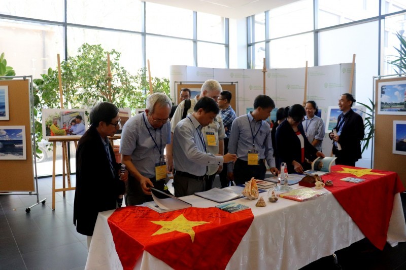
Conference on Cooperation on Sea and Islands Issues Held in Poland
 Friendship
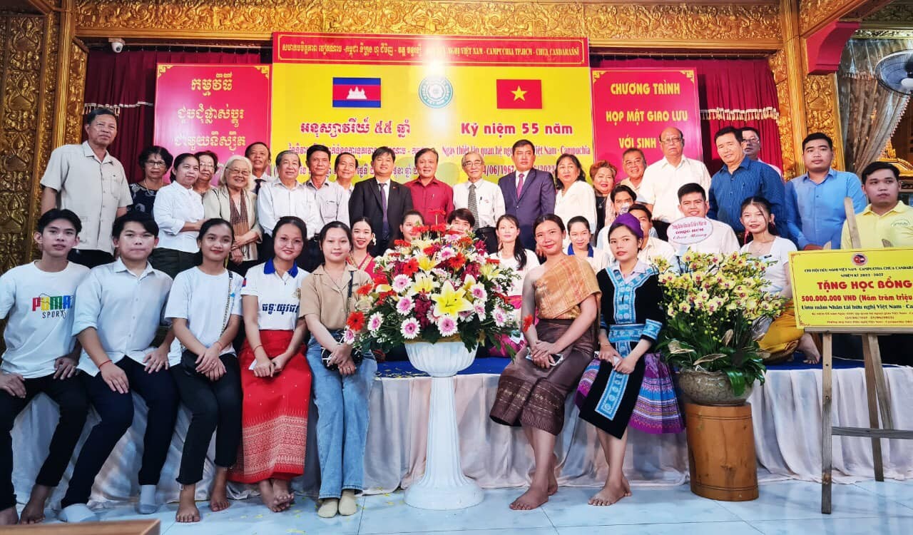
Ho Chi Minh City's Vietnam - Cambodia Friendship Association Focuses on Charity Work
Recommended
 Seas and islands
Vietnam Endorses Common Voice on Ocean Jurisdiction
 Seas and islands
Dialogue as Key to Settling Disputes and Advancing Law of the Sea
 Seas and islands
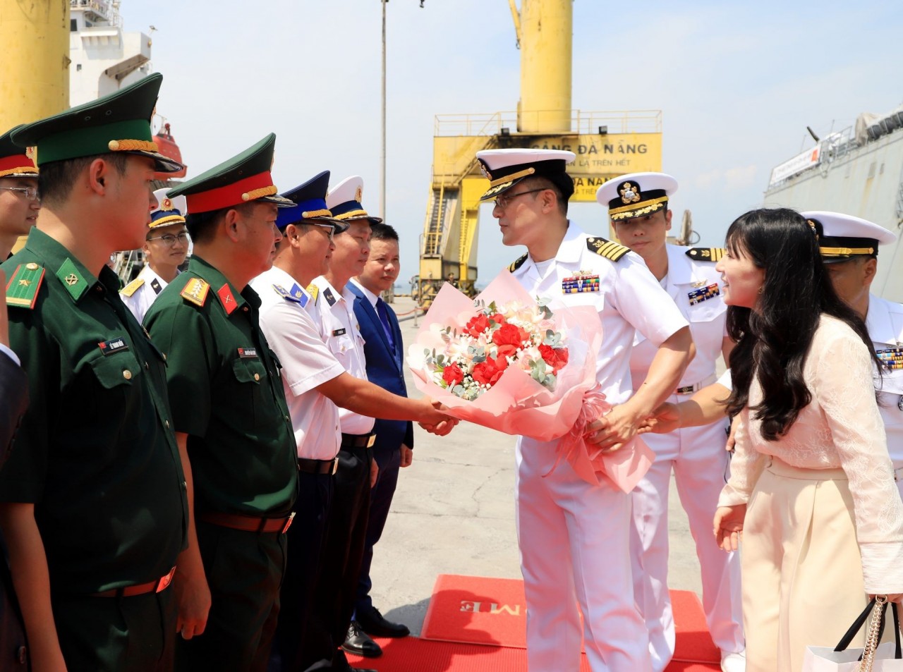
RoK Navy Ship Pays Friendly Visit to Da Nang City
 Seas and islands
Naval Region 5 Promotes Reading Culture, Fosters Patriotism
 Seas and islands
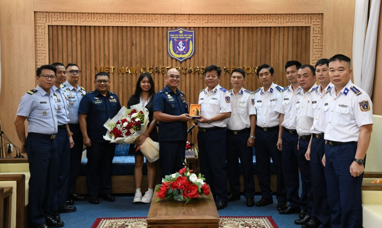
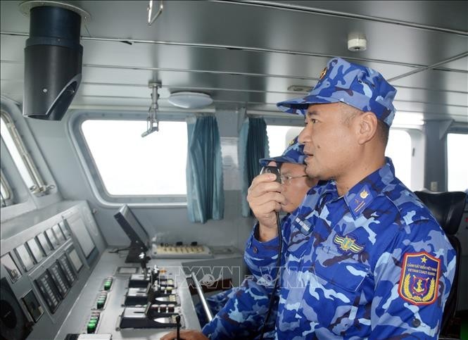
Coast Guard Region 2 Command Hosts Philippine Coast Counterpart
 Seas and islands
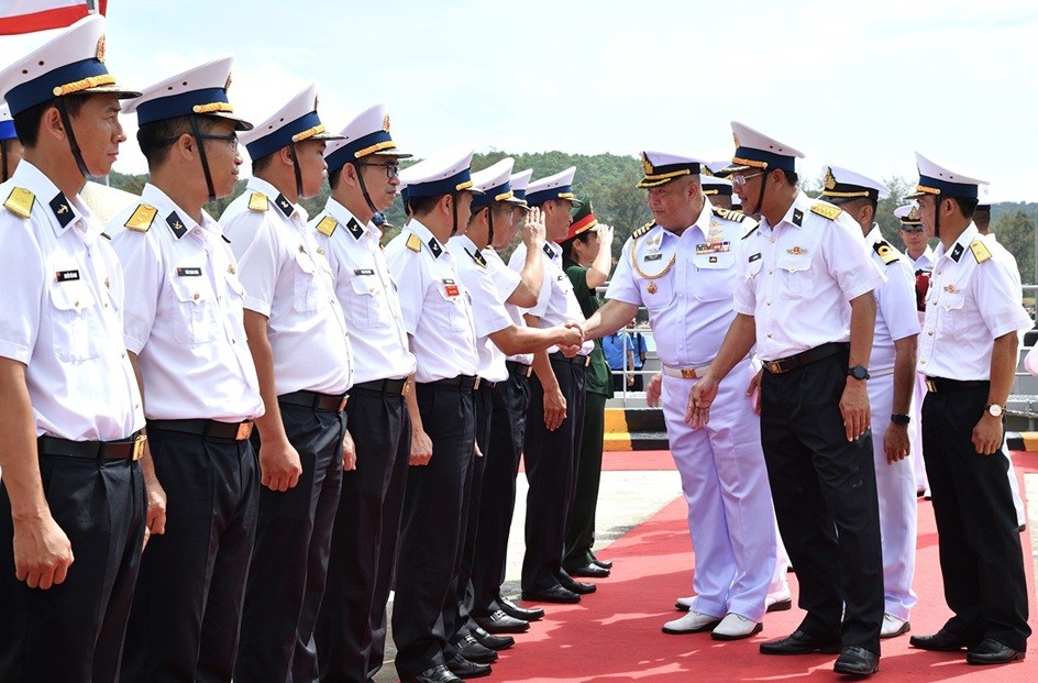
Vietnam - Thailand Navy: Coordination to Well Address Problems at Sea
 Seas and islands
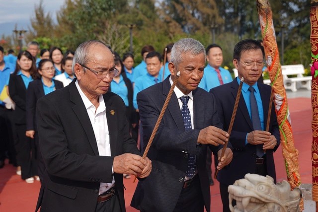
Honoring the Fallen: Incense Offering for the 37th Anniversary of Gac Ma
 Seas and islands