Top 7 Best Places To See The Northern Lights
The northern lights, also known as the aurora borealis, are a spectacular natural light show visible at certain times of the year in the northern hemisphere. This phenomenon occurs when electrically charged particles from the sun enter the Earth's atmosphere and collide with gaseous particles, such as oxygen and nitrogen. The experience is surreal, with vibrant hues of blue, green, pink and violet dancing across the night sky.
Spotting the northern lights isn't all that easy. But head to the right places at the darkest time of year and you may just be in luck...
1. Abisko, Arctic Sweden
 |
| Photo: Swedish lapland |
Abisko is a village in Sápmi (Lapland), in northern Sweden, roughly 250 km within the Arctic Circle, and near Abisko National Park, located 4 km west of the village. It had 85 inhabitants as of 2005.
Permafrost is common around the village albeit this low altitude permafrost is disappearing because of global warming and increased snowfall.
Daily passenger electric trains run by SJ AB connect Stockholm with the Norwegian city of Narvik, stopping at both the Abisko village (the name of that railway station is Abisko Östra [east]) and the Abisko Turiststation. Additional regional trains provide links along the Kiruna-Narvik stretch. Abisko is also reachable by car via the highway E10 which has linked Kiruna and Narvik since the early 1980s. Other local forms of transportation include hiking and dog-sledding in winter. A chair-lift provides access to a point below the summit of nearby Mt. Nuolja.
The 425 kilometer-long Kungsleden hiking trail, which follows the Scandinavian mountain range, starts (or ends) at the Abisko Turiststation (consisting of a railway station of the same name and the Abisko Youth Hostel) (approx. 4 km west of the village itself) and follows through the national park. The Nordkalottruta uses trails of the park as part of its longer passage. The Abisko Turiststation, run by the Svenska Turistföreningen (STF), houses many visitors to the park and provides lodging, food, and other amenities, and is one of many similar facilities located periodically along the Kungsleden trail. The national park is known for its Cross-country skiing opportunities, snowshoeing, and other winter sports (Mount Nuolja and nearby Björkliden provides Backcountry skiing and freeriding opportunities). As its location is 195 km north of the Arctic Circle, summer hikers enjoy the midnight sun, while winter visitors may find the light pollution-free location ideal for viewing the aurora borealis. One of the most recognized natural sights is Lapporten, a U-shaped valley visible from Abisko. Abisko is also located near the 330 square kilometre (130 sq mi) lake Torneträsk.
2. Fairbanks, Alaska
 |
| Photo: Getty Images |
Luck led to the founding of Fairbanks, the frontier city at the heart of Alaska's Interior. Before Fairbanks was a town, it was a trading post set up by E.T. Barnette in 1901. Its location is accidental, a result of uncooperative waterways that forced Barnette to dump his supplies on a Chena riverbank rather than on the Tanana as he'd first planned. When gold was discovered nearby the following year, the isolated post swiftly grew into a gold rush boom town. As for the trader Barnette, he was elected as the town's first mayor in 1903.
A trip to Fairbanks today isn't complete without exploring the town's unique past. Take a private guided trip or a Fairbanks city tour , which take visitors on a motorcoach trip to the city's historic downtown, along the trans-Alaska oil pipeline, and to the Museum of the North at the University of Alaska. The popular Gold Dredge #8 tour goes deep into the world of Alaska gold mining, while a riverboat cruise on a Chena sternwheeler highlights the life and culture of the area's indigenous Athabascans.
Fairbanks is also the jumping off point for adventures above the Arctic Circle, which is less than 100 miles north. You can go by road along the rugged Dalton Highway, by small plane for a bird's eye view of the north's rolling tundra and wild Brooks Range, or in a few cases by both.
3. Lofoten Islands, Norway
 |
| Photo: Instagram |
Lofoten is an archipelago and a traditional district in the county of Nordland, Norway. Lofoten has distinctive scenery with dramatic mountains and peaks, open sea and sheltered bays, beaches and untouched lands. Its largest town, Leknes, is approximately 169 km (105 mi) inside the Arctic Circle and approximately 2,420 km (1,500 mi) away from the North Pole, making Lofoten one of the world's northernmost populated regions. Though lying within the Arctic Circle, the archipelago experiences one of the world's largest elevated temperature anomalies relative to its high latitude.
"There is evidence of human settlement extending back at least 11,000 years in Lofoten, and the earliest archaeological sites ... are only about 5,500 years old, at the transition from the early to late Stone Age." Iron Age agriculture, livestock, and significant human habitation can be traced back to c. 250 BC.
The town of Vågan (Norse Vágar) is the first known town formation in northern Norway. It existed in the early Viking Age, maybe earlier, and was located on the southern coast on eastern Lofoten, near today's village Kabelvåg in Vågan municipality. The Lofotr Viking Museum with the reconstructed 83-metre-long longhouse (the largest known) is located near Borg on Vestvågøy, which has many archeological finds from the Iron Age and Viking Age.
The islands have for more than 1,000 years been the centre of great cod fisheries, especially in winter, when the cod migrate south from the Barents Sea and gather in Lofoten to spawn. Bergen in southwestern Norway was for a long time the hub for further export of cod south to different parts of Europe, particularly so when trade was controlled by the Hanseatic League. In the lowland areas, particularly Vestvågøy, agriculture plays a significant role, as it has done since the Bronze Age.
In March 1941 the islands were raided by British Commandos during Operation Claymore, and in a subsequent diversionary attack to support the Vaagso raid in December.
As of 2017, the islands attract one million tourists a year.
4. Tromsø, Norway
 |
| Photo: Nerd Normads |
Tromsø is a beautiful city between fjords, islands and mountains, with a visible past, a fascinating history, a lively, colourful city centre, an inclusive nightlife and numerous attractions. Use the city as a base to foray into Arctic wilderness chasing Midnight Sun and Northern Lights.
Take the Tromsø cable car up to Mount Storsteinen and get the full overview of Tromsø: Waterways in every direction, peaks popping up wherever you look. And amid all this wilderness a green, forested island filled with houses, activity, and bustling life. Tromsø is the biggest city in the north, but the Arctic wilderness is evident wherever you look. Add an interesting Arctic history, a city centre more charming than beautiful, a location directly under the Northern Lights, 68 days of Midnight Sun, and you have plenty to explore.
In the 19th c. up to after WWII, Arctic hunting was one of the city’s economic pillars. In a wide area from Newfoundland over Greenland and Svalbard to northern Russia, boats from Tromsø hunted seals, walrus, and polar bears. This made Tromsø the best source of information for scientists and explorers of yet unchartered territory in the high Arctic. Fridtjof Nansen, Roald Amundsen, and Umberto Nobile were household names in town, and many crew members were recruited here. Today, you can charter the traces of this eventful history at the Polar Museum, and in the numerous memorials around town, and maybe have a beer at the oldest waterhole in town, Ølhallen, where hunters used to tell not at all exaggerated stories.
5. Lapland, Finland
 |
| Photo: Getty Images |
Lapland is the largest and northernmost region of Finland. The 21 municipalities in the region cooperate in a Regional Council. Lapland borders the region of North Ostrobothnia in the south. It also borders the Gulf of Bothnia, Norrbotten County in Sweden, Troms and Finnmark County in Norway, and Murmansk Oblast and the Republic of Karelia in Russia. Topography varies from vast mires and forests of the South to fells in the North. The Arctic circle crosses Lapland, so polar phenomena such as the midnight sun and polar night can be seen in Lapland.
Lapland's cold and wintry climate, coupled with its relative abundance of conifer trees such as pines and spruces means that it has become associated with Christmas in some countries, most notably the United Kingdom, and holidays to Lapland are common towards the end of the year. However, Lapland region has developed its infrastructure for year-round tourism and for example 2019 on snow-free period tourism increased more than during the winter season. Rovaniemi Airport is the third busiest airport in Finland. Besides tourism, other important sectors are trade, manufacturing and construction.
The region was associated with Father Christmas or Saint Nicholas when first proposed by Finnish radio host Markus Rautio in 1927.
6. Orkney, Scotland
 |
| Photo: Getty Images |
Orkney Islands, group of more than 70 islands and islets—only about 20 of which are inhabited—in Scotland, lying about 20 miles (32 km) north of the Scottish mainland, across the strait known as the Pentland Firth. The Orkney Islands constitute a council area and belong to the historic county of Orkney.
The Orkney Islands were the Orcades of ancient classical literature. There remains much evidence of prehistoric occupation at various periods: underground houses, circles, standing stones, and earth houses. Skara Brae, an underground village on the west coast of the island of Mainland, is one of the most complete European relics of the late Neolithic Period; this location and several others on the island collectively were designated a UNESCO World Heritage site in 1999.
The Orkney Islands were fashioned by glacial erosion of the underlying sandstone, limestone, and igneous rocks into low, undulating hills, covered extensively by glacial deposits. Westerly winds and gales account for the general scarcity of trees. The largest of the islands is Mainland, or Pomona, which is divided into East Mainland and West Mainland; they are connected by a narrow strip of land about 2 miles (3 km) wide between Kirkwall and Scapa Flow. The streams are short, but trout fishing is good. The small islands of Burray and South Ronaldsay, to the south of East Mainland, are now joined to it by causeways constructed during World War II to prevent enemy submarines from entering the naval base at Scapa Flow. The second largest of the Orkney Islands, Hoy, lies south of West Mainland, along with smaller islands such as Graemsay, Flotta, and South Walls. To the north of Mainland, across the Wide Firth and Shapinsay Sound, lie Shapinsay, Rousay, Egilsay, Stronsay, Eday, Westray, Papa Westray, Sanday, North Ronaldsay, and several smaller islands.
7. Yellowknife, Canada
 |
| Photo: Getty Images |
Yellowknife, city and capital (since 1967) of Northwest Territories, northwestern Canada. It lies on the north shore of Great Slave Lake, 5 miles (8 km) south of the mouth of the Yellowknife River.
It was founded in 1935, one year after gold was discovered in the area, and derived its name from the Yellowknife band of Athabascan Indians. During the early years of World War II, the demand for gold declined, and the city’s economy suffered. Following a second major gold discovery in 1945, several large mines were in operation, although the last one closed in the early 21st century. Reserves of diamonds discovered in the surrounding region have been mined since the mid-1990s. In addition, tourism is of growing importance to the local economy. Power is provided in part by a hydroelectric station on the nearby Snare River.
The city is the largest community and the chief administrative, commercial, and educational centre in the territories. Yellowknife is linked by highway around the lake southward to Hay River and to cities in Alberta. In winter these roads are supplemented by roadways across the frozen lake. Inc. city, 1970.
 | Top 10 Most Beautiful Castles in Germany Europe is the land of palaces and castle, with outstanding, wonderful architectures. Take a look at these 10 most beautiful castles in Germany. |
 | Discover Interesting Facts About Oman You May Not Know Oman, a small country with beautiful, historic sites and natural wonders, is full of fascinating facts that a lot of people probably do not know. ... |
 | The Splendor Beauty of Dubrovnik – “The Jewel in the Adriatic Sea” Dubrovnik, located in Croatia, is a famous tourist destination with its beautiful sandy beaches, walls and forts, and fancy islands that can be a perfect ... |


Related Stories
 Travel
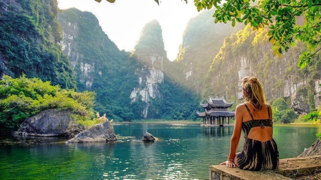
Vietnam among Top 40 Most Beautiful Countries with Appealing Cuisine
 World
World
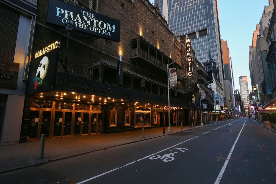
CNN: Destinations That Will Be Unavailable To Visit In 2024
 Travel
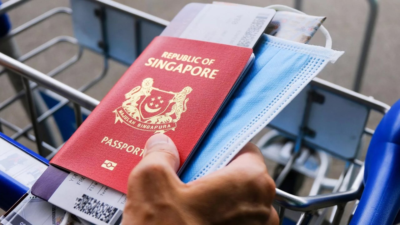
Henley Passport Index Ranks The World’s Most Powerful Passports
 World
World
Forbes Ranks The Safest Airline In The World
Recommended
 Travel
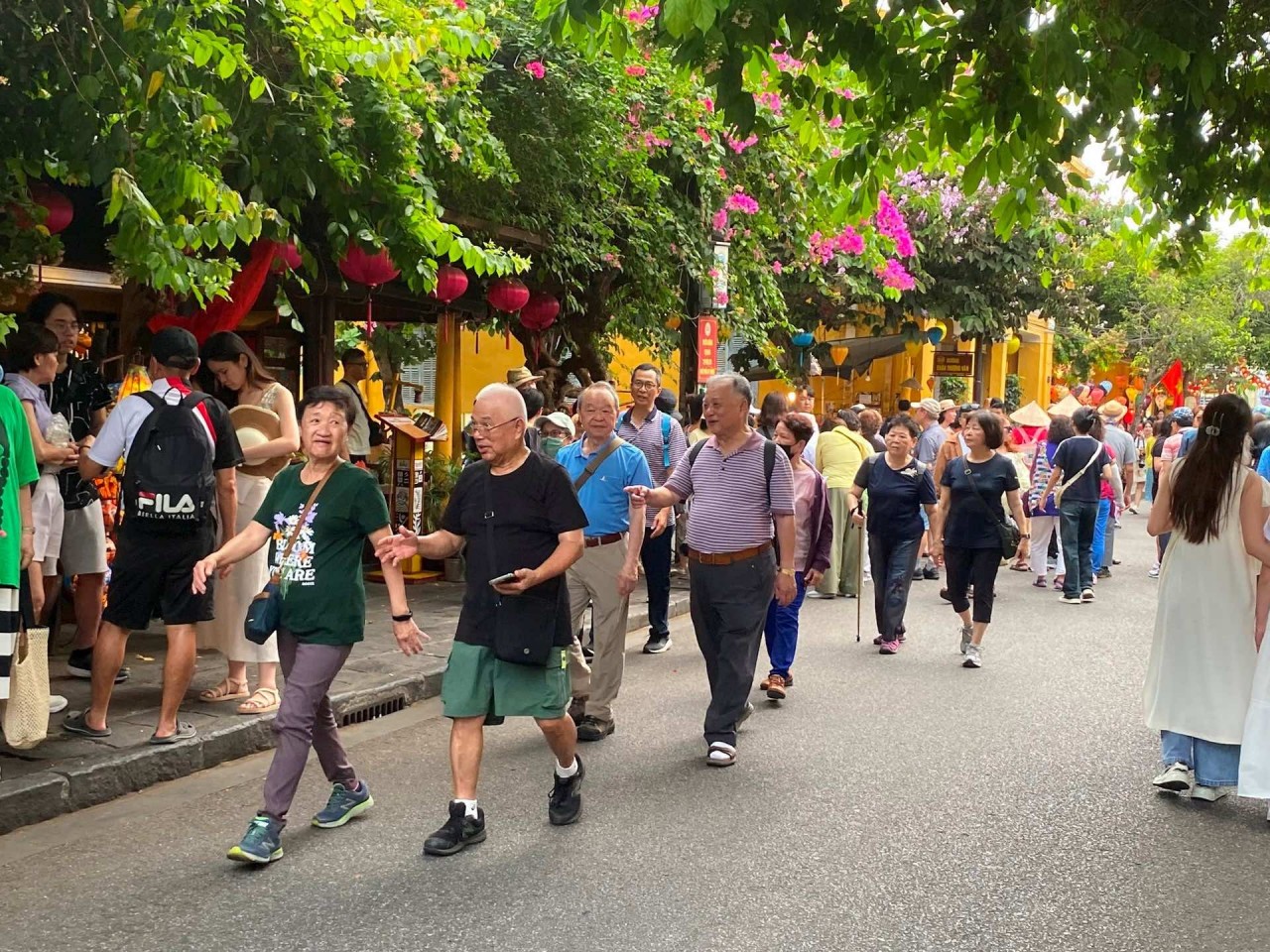
Vietnam Through Australian Eyes: Land of Flavor, Warmth, and Timeless Charm
 Travel
Strategies for Sustainable Growth of Vietnam’s Tourism from International Markets
 Travel
Vietnam Strengthens Its Presence On The Global Tourism Map
 Multimedia
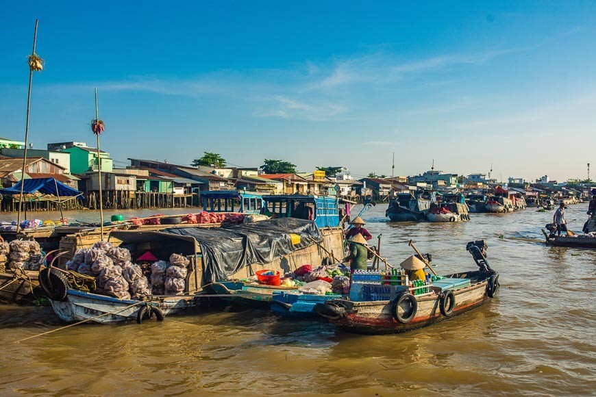
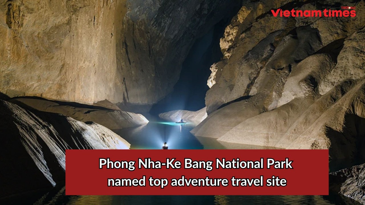
Phong Nha-Ke Bang National Park Named Top Adventure Travel Site
Popular article
 Travel
Vietnam Welcomes Record-High Number of International Visitors
 Travel
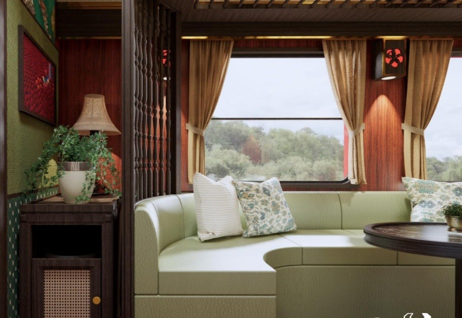
Luxury Train From Hanoi To Hai Phong To Be Launched In May
 Travel
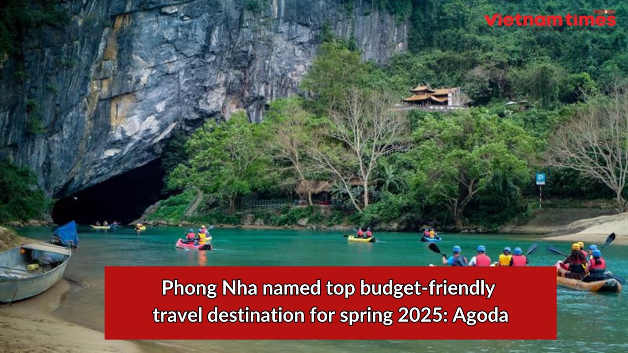
Phong Nha Named Top Budget-Friendly Travel Destination for Spring 2025: Agoda
 Travel