Rivers in Vietnam: Longest, Largest, Most Bridges
| The Refreshing Magic of Fairy River | |
| Top 7 Most Beautiful Rivers in Vietnam | |
| In Photos: Vietnamese Division 330’s troops sharpen river crossing skills |


 |
| A section of Mekong River. Photo: luxurycruisemekong.com |
Vietnam is a South East Asian nation covering an area of 128,565 square miles. The S-shaped country has a landscape comprised of highlands, mountains, coastal lowlands, and deltas. Vietnam is known for its many rivers and beautiful beaches.
Vietnam has an intricate river system, with more than 2,360 rivers with a length greater than 10 kilometers and 109 main channels. There are 16 major river basins with an average catchment area over 2,500 square kilometerseach. These are the Hong (Red), Thai Binh, Bang Giang, Ky Cung, Ma, Vu, Thu Bon, Ba, Dong Nai and Mekong basins. Of these river basins, 60% are concentrated along the Mekong Basin and 16% along the Thai Binh Basin. In 2011, the total catchment area of these two river basins was over 1,167,000 square kilometers, with up to 72% of the surface flow in these basins originating from outside Vietnam, cited vietnamopen.
What are the two major deltas of Vietnam?
| Vietnam has two major deltas: the Red River (Hong River) delta in the north and the Mekong delta in the south. |
Hong River - Northern Vietnam's largest river
Hong River, the Red River, is northern Vietnam’s largest river. It rises in China’s Yunnan province and flows 1,175 kilometers southeast through deep, narrow gorges to enter Vietnam and discharge into the Gulf of Tonkin via a great delta. The silt it carries is rich in iron oxide, making its water red and giving it its name. The Red River delta is about 120 kilometers long and 140 kilometers wide, and is expanding an astonishing 100 metres a year. It is the economic centre of northern Vietnam - Haiphong, Vietnam’s main port, lies on a branch of the delta. The volume of water flowing down the river averages 500 million cubic meters per second, but may increase by more than 60 times at the peak of the rainy season.
 |
| Hong River. Photo: Zing |
The entire delta region is no more than three metres above sea level, and much of it is one metre or less. The area is subject to frequent flooding: at some places the high-water mark is fourteen metres above the surrounding countryside. Dikes and canals protect the delta from the floodwaters. A major highway crosses the delta and the coastal strip beyond, an important transportation route linking China and Vietnam, cited haivenu.
Today, around fifteen million people inhabit the area, one of the highest population densities in the world. Rice is the principal crop of the delta, but wheat, beans, rapeseed, corn, and subtropical crops are also grown. Historically, the delta has produced a large number of skilled craftspeople. The annual rice-growing cycle featured a period where farmers left the land fallow, thus freeing them to pursue other money-making ventures.
Villages specialized in a wide variety of crafts that ranged from the making of conical 'non' hats to the production of lacquerware. The tradition continues to the present day in the form of Vietnam’s famous ‘craft villages’, mostly clustered in the rural areas surrounding Hanoi and now major tourist attraction.
Mekong - the longest river flowing through the territory of Vietnam
The Mekong River, which is 2,703 miles long, derives its source waters from the Tibetan Plateau in China. It passes through China’s Yunnan Province, down to the border between Myanmar and Laos, and on to the border between Laos and Thailand before crossing into Laos, Cambodia, and Vietnam where it drains into the South China Sea.
It is the longest river in South East Asia and 12th longest river in the world. The capital of Laos, Vientiane, and the capital of Cambodia, Phnom Penh are located on the banks of Mekong. The river has one of the most biodiverse ecosystems in the world only second to the Amazon. It has the most species of large fish found in a river. The Mekong River has a myriad of uses in the regions it passes through. Some of the uses are irrigation, fisheries, power generation, navigation, domestic use, and Industrial water supply. Due to the high demands on the river, most of its resources are under threat. The Mekong River Commission was established by Thailand, Laos, Cambodia and Vietnam to manage the resources found in the river. Local communities, private institutions, and NGOs are involved in the management and development of the river, according to worldatlas.
 |
| Trade on the Mekong River |
The Mekong’s flow comes chiefly from rainfall in its lower basin, which fluctuates seasonally with the monsoon winds. In April the flow is ordinarily at its lowest. In May or June—as the rain-bearing southerly monsoon winds arrive—the flow begins to increase, with an especially rapid increase in the eastern and northern highlands. The Mekong’s highest water levels occur as early as August or September in the upper reaches and as late as October in the southern reaches. The northeasterly monsoon wind, beginning ordinarily in November in the southern areas, brings dry weather until May. During the long dry period, rice cultivation is impossible without irrigation, and the river’s waters are vital to agricultural production, cited britannica.
Temperatures in the lower Mekong basin are uniformly warm throughout the year. Daily highs at Phnom Penh average 32 degree Celsius, and lows average 23 degree Celsius. In the upper basin, temperatures are moderated somewhat by altitude and generally are lower and exhibit more seasonal variation than those found farther south.
What is the longest inland river in Vietnam?
Dong Nai river is the longest inland river in Vietnam. The Dong Nai River originates from the Langbiang plateau (Lam Dong) with a total length of 586 kilometers. With extremely large water flow, is a source of abundant hydraulic power supply to Dong Nai hydropower plant.
 |
| Dong Nai river. Photo: dulich24 |
Dong Nai River, also called Donnai River, Vietnamese Song Dong Nai, river rising in the central highlands (Annamese Cordillera) of southern Vietnam, northwest of Da Lat. Near its source the river has rapids and is known as the Da Dung River. It flows west and southwest for about 300 miles (480 kilometers), joining the Saigon River southwest of Bien Hoa. At the rapids of Tri An, west of Dinh Quan, it is joined by the Be River.
Which one is the river with the most special shape in Vietnam?
The image of the dragon-shaped river was captured by a foreigner while she was traveling on airplane and then posted on the Internet.
 |
| Be River with a special shape |
This special river is the Be River that flows into Can Don Lake in the Southeastern Binh Phuoc province. Many small branches form the river’s one-of-a-kind appearance as seen from the bird-eye view.
Be River is a river of southern Vietnam. It flows through Binh Phuoc province, Binh Duong province and Dong Nai province for approximately 350 kilometres. It starts from Thac Mo lake in Phuoc Long district of Binh Phuoc province and empties to Dong Nai River near Tri An Hydro Power Plant.
 |
| Be River. Photo: phathocdoisong |
Which river has the most bridges connecting the two banks in Vietnam?
The Han river flowing through the heart of Da Nang has the most bridges in Vietnam. There are at least 9 bridges in the central district of the city such as Thuan Phuoc, Han river, Nguyen Van Troi and Dragon which attract many tourists for their unique architectural features.
 |
| Han River. Photo: Zing |
 |
| Han River with Tran Thi Ly bridge. Photo: Zing |
The bridges are both a part of a transportation network and architectural highlights of the urban area. Each bridge has its own characteristics and a story of its own, attracting visitors from near and far to Da Nang, cited VNA.
Han River is a river located in the South Central Coast region of Vietnam. It originates in Quang Nam province and empties into the South China Sea at Da Nang.
 | Vietnam suggests measures to realise urgent tasks of Mekong-Lancang Cooperation Vietnam has pointed out three urgent tasks of the Mekong-Lancang Cooperation and proposed major measures to realise them. |
 | Young people in Hanoi try paddle boarding on Red river Young people in Hanoi are challenging themselves with Standup Paddle Boarding (SUP), an outdoor sports activity that helps them entertain at the weekend and still ... |
 | Majestic beauty of Nho Que River - the most famous tourist destination in northern of Vietnam Nho Que River, Ha Giang is known as one of the unique tectonic valleys of Vietnam. |


Related Stories
 National
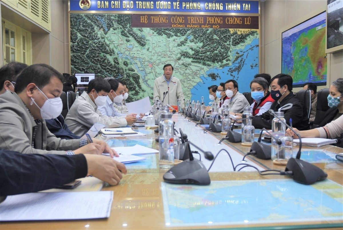
Vietnam News Today (December 16): South-central Localities on Alert as Tropical Storm Rai Entering Bien Dong Sea
Recommended
 Viet's Home
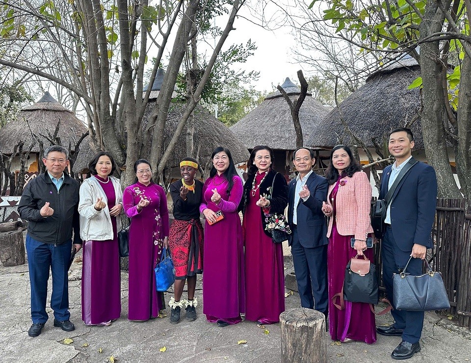
Hanoi, South Africa Strengthens People-to-people Exchanges, Expands Multi-sector Cooperation
 Viet's Home
Hue City to Raise Awareness on Mine Accident Prevention
 Focus
Focus
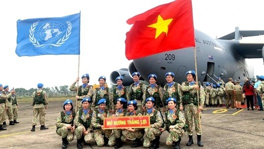
Vietnam Leaves Imprints on the World Peacekeeping Map
 Viet's Home
“Global Vietnamese Singing 2025” - Connecting Hearts Longing for Homeland
Popular article
 Viet's Home
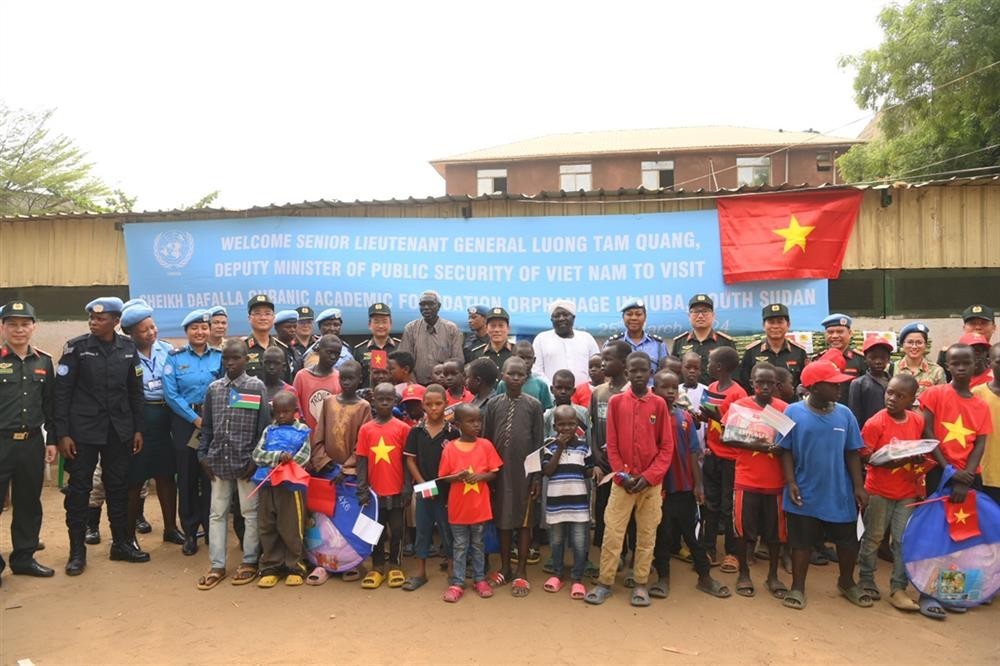
Vietnam’s People's Public Security Force Actively Contributes to UN Peacekeeping Operations
 Viet's Home
HAUFO Enhances Competence of People-to-People Diplomacy Personnel
 Viet's Home
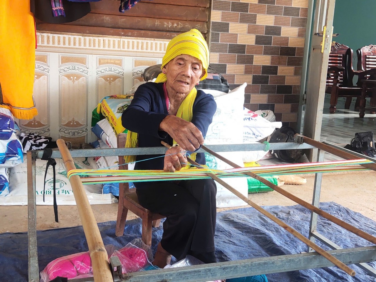
Hands that Reserve Da Long Brocade Craft
 Viet's Home