Discover The Most Beautiful Places You Can Visit In South Africa
South Africa, officially the Republic of South Africa, is the southernmost country in Africa. With over 60 million people, it is the world's 23rd-most populous nation and covers an area of 1,221,037 square kilometres (471,445 square miles). South Africa has three capital cities: executive Pretoria, judicial Bloemfontein, and legislative Cape Town. It is also one of the most popular destinations in the world, with the wilderness, diversity of cultures, and natural beauty.
1. Hole In The Wall (Eastern Cape)
 |
| Photo: South Africa Gateway |
The Hole-in-the-Wall is an extraordinary natural arch. The formation consists of a tidal island containing a natural arch that takes the form of a hole pierced through a wall of sandstone and shale by the waves of the sea located at the mouth of the Mpako River, about 8 km due south of Coffee Bay on the Wild Coast Region, Eastern Cape in South Africa.
The natural arch is large enough for a sailboat to cross underneath it with ease. It is reachable by foot just off the beach joining the rock formation to the land at low tide. Visitors and tourists to the formation may find accommodation in the nearby village of the same name.
The local Xhosa inhabitants call it esiKhaleni or 'Place of Noise'. According to a Xhosa legend, a beautiful maiden who lived in a village on the shores of a coastal lagoon separated from the sea by a sheer cliff fell in love with a man of the legendary sea-people. On hearing of the unnatural liaison, her angry father forbade her to see her lover or leave the village. One night her lover came to the cliff with his people and rammed a gaping hole through the cliff using the head of an enormous fish. Through this breach they streamed to the village singing and shouting; all the villagers hid, except the maiden, who rushed into the arms of her lover. She was never heard of again. Under certain conditions, the waves slap the rocks with a resounding crack, and the hole roars during storms. Tribesmen believe that these are the sounds of the sea-people singing and shouting, hence the name of the place, esiKhaleni.
2. Kruger National Park
 |
| Photo: iStock |
Kruger National Park is a South African National Park and one of the largest game reserves in Africa. It covers an area of 19,623 km2 (7,576 sq mi) in the provinces of Limpopo and Mpumalanga in northeastern South Africa and extends 360 km (220 mi) from north to south and 65 km (40 mi) from east to west. The administrative headquarters are in Skukuza. Areas of the park were first protected by the government of the South African Republic in 1898, and it became South Africa's first national park in 1926.
To the west and south of the Kruger National Park are the two South African provinces of Limpopo and Mpumalanga, respectively. To the north is Zimbabwe, and to the east is Mozambique. It is now part of the Great Limpopo Transfrontier Park, a peace park that links Kruger National Park with the Gonarezhou National Park in Zimbabwe, and with the Limpopo National Park in Mozambique.
The park is part of the Kruger to Canyons Biosphere, an area designated by the United Nations Educational, Scientific, and Cultural Organization (UNESCO) as an International Man and Biosphere Reserve.
3. Chapman's Peak Drive
 |
| Photo: BBC |
Situated on the Atlantic Coast, Chapman’s Peak Drive is one of the most spectacular coastal drives in the world. Running from Noordhoek to Hout Bay, the twisting 9km drive has 114 curves and gives you spectacular 180° views of the Atlantic coastline. It’s located at the southwestern tip of South Africa.
The road is asphalted and is part of the M6. It’s necessary to drive slowly and cautiously – all the better to gaze out at the spectacular vistas! Chapman’s Peak Drive was hacked into the near-vertical face of a mountain on the western side of the Cape Peninsula. The route skirts the rocky coastline of Chapman’s Peak (593m), which is the southerly extension of Constantiaberg and is a great hike for the energetically inclined.
It's one of the most scenic drives in the world. With 114 curves, flanked by both the towering mountainside and sheer drops into the Atlantic Ocean below, Chapman’s Peak Drive is a nail-biting route passing though a number of picnic spots and whale-watching vantage points that offer respite from the hair-raising drive. The road is 9km long, according to Dangerous Roads.
4. Cape Town
 |
| Photo: Air France |
Cape Town is the oldest and second largest city in South Africa, after Johannesburg, and also the seat of the Parliament of South Africa.
Colloquially named the Mother City, it is the largest city of the Western Cape province and forms part of the City of Cape Town metropolitan municipality. The Parliament of South Africa is situated in Cape Town. The other two capitals are located in Gauteng (Pretoria the executive capital where the Presidency is based) and in the Free State (Bloemfontein the judicial capital where the Supreme Court of Appeal is located). The city is known for its harbour, for its natural setting in the Cape Floristic Region, and for landmarks such as Table Mountain and Cape Point. Cape Town is home to 66% of the Western Cape's population. The city was named the World Design Capital for 2014 by the International Council of Societies of Industrial Design.
In 2014, Cape Town was named the best place in the world to visit by both The New York Times and The Daily Telegraph. Cape Town has also been a host city for both the 1995 Rugby World Cup and 2010 FIFA World Cup, and annually hosts the Africa leg of the World Rugby 7s.
5. Bourke's Luck Potholes
 |
| Photo: Getty Images |
At the confluence of the Blyde River and the Treur River in the South African region of Mpumulanga, thousands of years of water erosion have created a unique and otherworldly geological feature.
Here at the mouth of the Blyde River Canyon, the two rivers formed swirling eddies of water. Over time, this formed huge cylindrical potholes in the sandstone bedrock. The effect, seen from the crags above, is now a fascinating network of tunnels and tubes and interconnected whirling pools. The different soil levels in each hole give them each a unique color and makes for a striking and colorful landscape.
The formations get their name from a prospector, John Bourke, who was one of the first to proclaim that the region had gold deposits and who staked a claim nearby. Despite the name of the potholes, he never found a single ounce of gold there — though luckier prospectors would later find rich amounts of gold in the area. Even if he walked away empty-handed, his name lives on in the stunning scenery, according to Atlas Obscura.
6. Kgalagadi Transfrontier Park
 |
| Photo: Safari |
Kgalagadi Transfrontier Park is a large wildlife preserve and conservation area in southern Africa. The total area of the park is 38,000 square kilometres (15,000 sq mi). Approximately three-quarters of the park lies in Botswana and one-quarter in South Africa. Kgalagadi means "place of thirst." In December 2015, media reports claimed that rights for gas-fracking in more than half of the Botswana portion of the park had been sold. The Botswana government later refuted these reports.
The park is located largely within the southern Kalahari Desert. The terrain consists of red sand dunes, sparse vegetation, occasional trees, and the dry riverbeds of the Nossob and Auob Rivers. The rivers are said to flow only about once per century. However, water flows underground and provides life for grass and camelthorn trees growing in the river beds. The rivers may flow briefly after large thunderstorms.
The park has abundant, varied wildlife. It is home to large mammalian predators such as lions, cheetahs, African leopards, and hyenas. Migratory herds of large herbivores such as blue wildebeest, springbok, eland, and red hartebeest also live and move seasonally within the park, providing sustenance for the predators. More than 200 species of bird can be found in the park, including vultures and raptors such as eagles, buzzards, and secretary birds.
7. Bo-Kaap
 |
| Photo: Cape Town Tourism |
The Bo-Kaap (lit. "above the Cape" in Afrikaans) is an area of Cape Town, South Africa formerly known as the Malay Quarter. It is a former racially segregated area, situated on the slopes of Signal Hill above the city centre and is a historical centre of Cape Malay culture in Cape Town. The Nurul Islam Mosque, established in 1844, is located in the area.
Bo-Kaap is known for its brightly coloured homes and cobble stoned streets. The area is traditionally a multicultural neighbourhood, and 56.9% of its population identify as Muslim. According to the South African Heritage Resources Agency, the area contains the largest concentration of pre-1850 architecture in South Africa, and is the oldest surviving residential neighborhood in Cape Town.
In May 2019, 19 sites in the Bo-Kaap area were declared National Heritage Sites by the South African Minister of Arts and Culture. The announcement followed the City of Cape Town's council's March 2019 approving of the inclusion of the Bo-Kaap area in a Heritage Protection Overlay Zone (HPOZ), which will incorporate around 600 privately-owned homes. The City received over 2,000 letters from members of the public, a strong majority of which were in support of the new Heritage Zone. The HPOZ stretches to the Table Mountain National Park, and includes the northern verges to the northwest of Strand Street as well as Buitengracht Street, between the intersections with Carisbrook Street and Strand Street.
8. Blyde River Canyon
 |
| Photo: blyderivercanyon.co.za |
The Blyde River Canyon is 26km long. The canyon is located in Mpumalanga, South Africa. It is one of the larger canyons on Earth but much smaller than those of Asia, the Grand Canyon, and the Fish River Canyon. Unlike the Grand and Fish River Canyon, the Blyde River Canyon is a "green canyon" that is dominated by subtropical vegetation.
The Blyde River Canyon passes a rock formation known as the "Three Rondavels". So named as the formation resembles three African-style houses or rondavels. This canyon is part of the Panorama Route. This route starts at the town Graskop and includes God's Window, the Pinnacle, and Bourke's Luck Potholes.
Blyde means "glad" or "happy" in old Dutch, a name derived from a voortrekkers' expedition. The 'happy river' was thus named in 1844 when Hendrik Potgieter and others returned safely from Delagoa Bay to the rest of their party of trekkers who had considered them dead. While still under this misapprehension they had named the nearby river where they had been encamped, Treurrivier, or 'mourning river'.
In 2005, the Blyde River was renamed the Motlatse River, and the Mpumalanga Provincial Government announced that the canyon would be renamed as well.
 | Visit Tateyama Kurobe Alpine Route – The Stunning Snowy “Roof Of Japan” When the winter holiday season comes, it is time for many tourists and Japanese to visit The Tateyama Kurobe Alpine Route, scenic and beautiful mountain ... |
 | The Extraordinary Story of Beautiful Fort Bragg’s Glass Beach, California California has many wonderful and unique spots to discover, and one of them is Glass Beach near Fort Bragg, an amazing site with thousands of ... |
 | 6 Most Stunning and Beautiful Churches In The World From Saint Basil's Cathedral to Duomo di Milano, here are the 6 most stunning and beautiful churches with outstanding architecture around the world that you ... |


Related Stories
 Travel
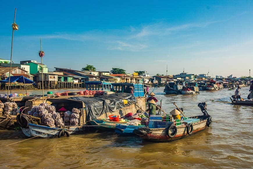
Vietnam among Top 40 Most Beautiful Countries with Appealing Cuisine
 National
Vietnam, South Africa Pave Ways to Further Traditional Friendship
 Handbook
Four Must-Do Activities When Traveling In Vietnam
 Overseas Vietnamese
Vietnam's Fried Spring Rolls Introduced to Global Community in South Africa
Recommended
 Travel
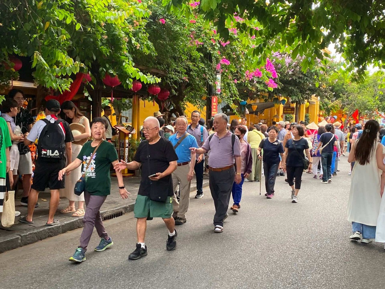
Vietnam Through Australian Eyes: Land of Flavor, Warmth, and Timeless Charm
 Travel
Strategies for Sustainable Growth of Vietnam’s Tourism from International Markets
 Travel
Vietnam Strengthens Its Presence On The Global Tourism Map
 Multimedia
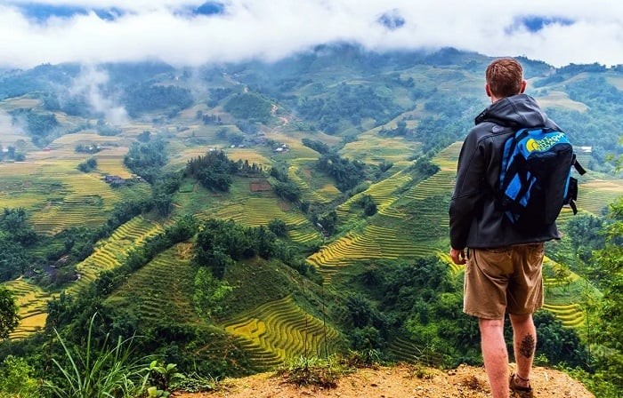
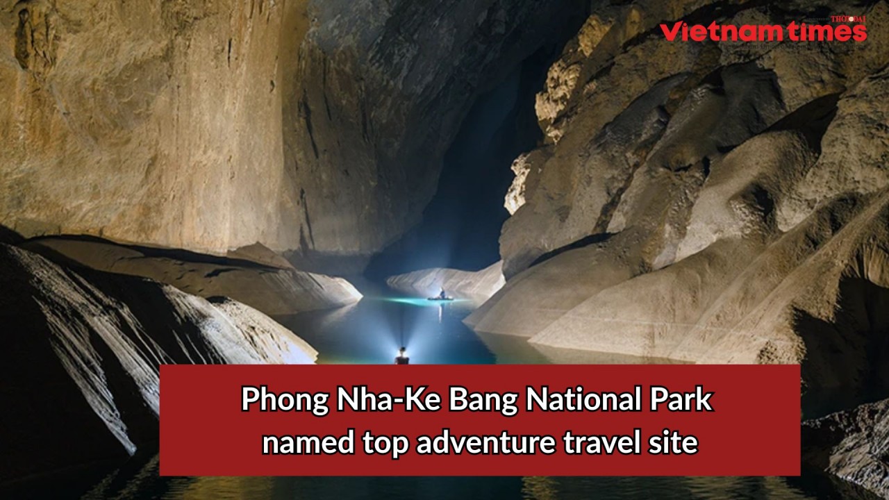
Phong Nha-Ke Bang National Park Named Top Adventure Travel Site
Popular article
 Travel
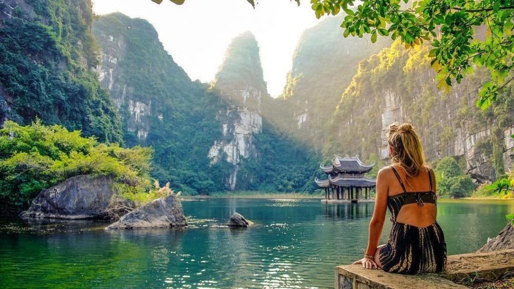
Vietnam Welcomes Record-High Number of International Visitors
 Travel
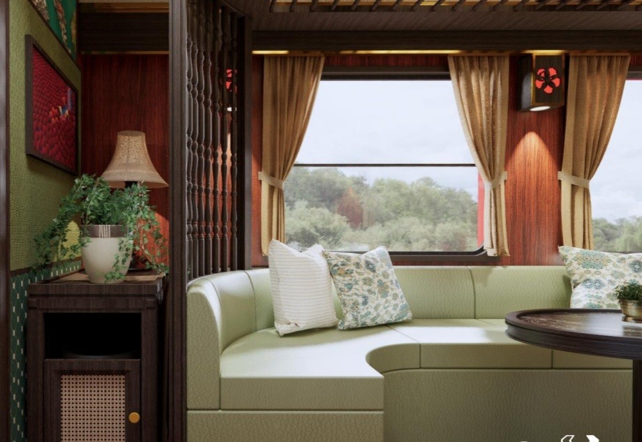
Luxury Train From Hanoi To Hai Phong To Be Launched In May
 Travel
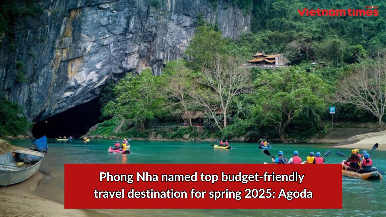
Phong Nha Named Top Budget-Friendly Travel Destination for Spring 2025: Agoda
 Travel