First self-made real 4D digital map platform debuted in Vietnam
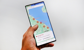
| Google Maps warns of flood-stricken areas in Central Vietnam | |
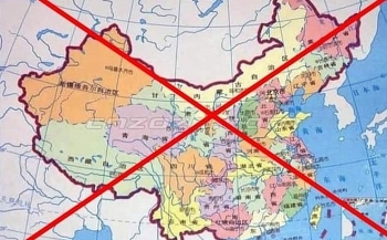
| Chinese man fined for spreading incorrect Vietnamese map on Facebook | |
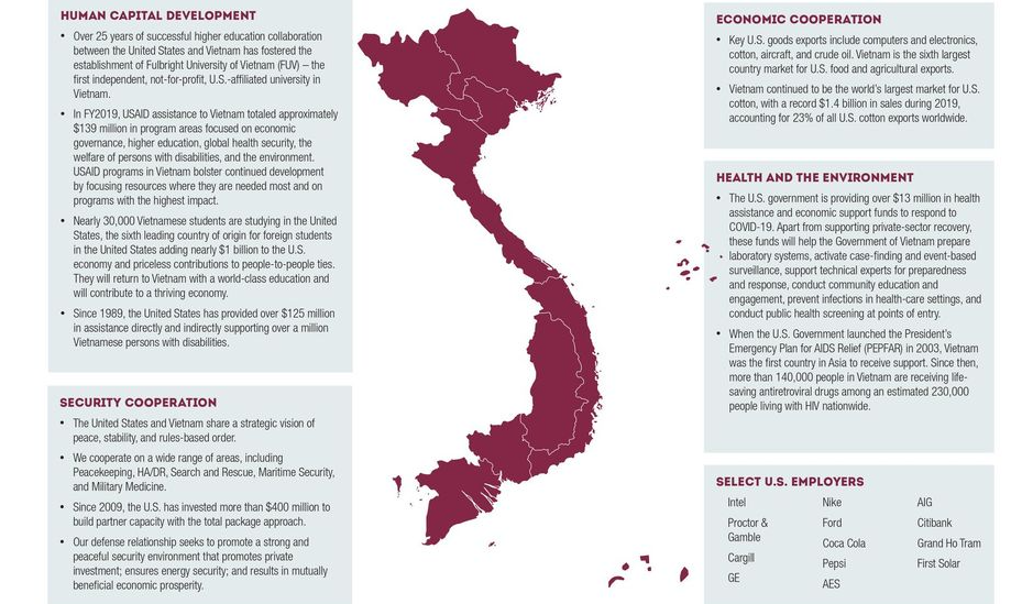
| US Embassy posted Vietnam's map featuring Paracel and Spratly islands |
 | |
|
Developed by IOTLink Co., Ltd. and Integrated with advanced technology such as VR, AI, Internet of Things (IoT), machine learning, and others, Map4D has won second place in the Viet Solutions 2020 Award launched by the MIC.
This is the only map in Vietnam which is displayed in real 4D. It is built from multiple data layers, ready for IOT connections and enables the analysis of the information and turn the data into business insight.
Do Quang Vinh, general director of IOTLink, said that Map4D has some advantages, including high security, and the integration of advanced technologies, easiness to use, creativity, and competitive pricing.
The company’s vision is to construct a smart city building software package including many integrated applications for state management, business management, and people, Vietnamnet reported.
Map4D can be used in e-commerce, tourism, construction, transport, agriculture, environment and natural resources, urban area development, and other areas.
According to Nguyen Trong Duong, deputy head of the Authority of Information Technology Application (AITA) under the MIC, the debut of Map4D is valuable evidence for the creativity of Vietnamese digital firms and IOTLink.
| Map4D is supported by the Ministry of Information and Communications to boost a comprehensive digital transformation nationwide in both economic and societal fields. Director General of IOTLink shared that in the past 8 years, his company has experienced different kinds of trouble developing the software. The new challenge at the moment is how to best use it to effectively serve the digital transformation processes of the Government, businesses, and the community. Map4D is part of a chain of events to introduce “Make in Vietnam” digital products and platforms in line with the implementation of the recently-approved National Digital Transformation Programme by 2025, with vision towards 2030. To this end, IOTLink has formed cooperation with giant corporations in Vietnam like the telecoms companies of Viettel and VNPost, the logistics business of Ahamove, the Center for Applied GIS of Ho Chi Minh City (HCMGIS), Quang Trung Software City (QTSC), according to SGGP. |
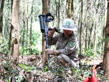 | Mapping risk of UXO at A Luoi district, Thua Thien Hue province Following over a year's work, the project has completed 17 Technical Survey (TS) tasks, with over 9 million square meters surveyed, resulted in 10 Confirmed ... |
 | UK and Europe weather forecast latest, November 6: Temperatures plunge with maps showing most of the UK turning icy blue Britain is forecasted to cope with icy weather with maps turning blue. Meanwhile, Europe sets to bear brutal flooding to the end of the week. |
 | Map exhibition of Hoang Sa, Truong Sa held by MIC The exhibition of: "Hoang Sa, Truong Sa of Vietnam - Historical and Legal Evidences" was organized by the Ministry of Information and Communications from October ... |

