Lena Stone Pillars – The Extraodrinary 500-Year-Old Forest In Russia
 |
| HTTP://ENGLISHRUSSIA.COM/?P=5202#MORE-5202 |
Lena Pillars (Russian: Ле́нские столбы́, tr. Lenskiye Stolby; Yakut: Өлүөнэ туруук хайалара, Ölüöne Turūk Khayalara) is the name given to a natural rock formation along the banks of the Lena River in far eastern Siberia. The pillars are 150–300 metres (490–980 ft) high, and were formed in some of the Cambrian period sea-basins. The highest density of pillars is reached between the villages of Petrovskoye and Tit-Ary. The Lena Pillars Nature Park was inscribed on the World Heritage List in 2012.
The site lies around 180 kilometres (110 mi), less than a day's boat ride, upriver (south) from the city of Yakutsk, the capital of the autonomous Sakha Republic.
 |
| Photo: Natural World Site Heritages |
Lena’s Pillars are a natural rock formation which was made a World Heritage site in 2006. Numerous fossils and ancient organisms can be found at these pillars, and the area is important for its fossil record of the explosion of life in the lower Cambrian. It has also been the site of many mega-fauna fossils such as mammoth (Mammuthus primigenius Blum), bison (Bison priscus Boj), woolly rhinoceros (Coelodonta antiquitatis Blum), Lena horse (Equus lenensis Russ), and reindeer (Rangifer tarandus L). Evidence of ancient human life can be seen from the rock paintings and manuscripts from the area.
Although Lena’s Pillars are an amazing sight to behold, be aware of the long (and expensive) trip ahead of you, as well as the lack of basic comforts and amenities due to the remoteness and isolation of the of the area.
 |
| Photo: Russiatrek |
Tourism
One may plan a river cruise by contacting a travel service in the city of Yakutsk. Those interested in limnology or ecotourism, and others who visit Lake Baikal, can coordinate a river sojourn with the aid of a guide from the Lake Baikal region; however, consider that Yakutsk, the world's coldest city and where the river cruises originate, is approximately 1,400 kilometres (870 mi) northeast of Lake Baikal.
Few modern amenities exist in this part of Russia, unless one travels by cruise ship on the Lena River. Tit-Ary on the other side of the river has a gravel road from Yakutsk.
Hiking trails in the region are steep and at times precarious.
Lake Baikal
 |
| Photo: Adventure |
Lake Baikal, Russian Ozero Baykal, also spelled Ozero Bajkal, lake located in the southern part of eastern Siberia within the republic of Buryatia and Irkutsk oblast (province) of Russia. It is the oldest existing freshwater lake on Earth (20 million–25 million years old), as well as the deepest continental body of water, having a maximum depth of 5,315 feet (1,620 metres). Its area is some 12,200 square miles (31,500 square km), with a length of 395 miles (636 km) and an average width of 30 miles (48 km). It is also the world’s largest freshwater lake by volume, containing about one-fifth of the fresh water on Earth’s surface, some 5,500 cubic miles (23,000 cubic km). Into Lake Baikal flow more than 330 rivers and streams, the largest of which include the Selenga, Barguzin, Upper (Verkhnyaya) Angara, Chikoy, and Uda.
Baikal lies in a deep structural hollow surrounded by mountains, some of which rise more than 6,600 feet (2,000 metres) above the lake’s surface. The sedimentary strata on the floor of the lake may be as much as 20,000 feet (6,100 metres) thick. Breaks in Earth’s crust produce hot mineral springs in the area. There are occasional severe earthquakes; in 1862 a quake inundated about 77 square miles (200 square km) in the northern Selenga delta, creating a new bay in Baikal known as Proval Bay.
The lake hollow is not symmetrical, having steep slopes on the western shores and gentler slopes on the eastern. The meandering shoreline runs for some 1,300 miles (2,100 km), with large indentations at the bays of Barguzin, Chivyrkuysky, and Proval and at Ayaya and Frolikha inlets; the Svyatoy Nos Peninsula juts out into the lake from the eastern shore. Baikal contains some 45 islets and islands, the largest of which are Olkhon (about 270 square miles [700 square km]) and Bolshoy (Great) Ushkany (3.6 square miles [9.4 square km]). The influx of water into the lake is primarily from rivers, chiefly the Selenga. The only outflow is through the Angara River, a tributary of the Yenisey.
Geology and Climate of Lena Pillars
 |
| Photo: Russiatrek |
The pillars consist of alternating layers of limestone, marlstone, dolomite and slate of early to middle Cambrian age, which are weathered, producing the rugged outcrops.
These types of rocks are commonly formed in marine environments and the horizontal layering and vertical variation indicates marine transgression/regression; with the slate representing the deep marine, slightly metamorphosed shales.
The climate is acutely continental with temperatures reaching as low as -60°C in winter and as high as +35°C in summer.
 |
| Photo: Russiatrek |
 | The Most Beautiful Castles Around The World Through Dutch Photographer’s Lenses Vincent Croce, a Dutch photographer, has travelled around the world and Europe to capture the mesmerizing beauty of the ancient castles. |
 | Autumn in Japan Through a Vietnamese Lens In Autumn, Kyoto is covered with red and yellow leaves forming part of the slow pace of life in the ancient capital. |
 | 12 Breathtaking Forgotten Places And Ruins Around The World 12 breathtaking forgotten places, ruins and historical relics, shared in the ‘Abandoned Beauties’ Facebook group. |


Related Stories
 Friendship
Can Tho Celebrates 75 Years of Vietnam - Russia Ties
 Friendship
Vietnam - Russia Cooperation 2024 Reaps Numerous Positive Results
 Travel
Vietnam among Top 40 Most Beautiful Countries with Appealing Cuisine
 Viet's Home
Vietnamese Artist's Paintings Joins Diplomatic Exhibition in Russia
Recommended
 Travel
Vietnam Through Australian Eyes: Land of Flavor, Warmth, and Timeless Charm
 Travel
Strategies for Sustainable Growth of Vietnam’s Tourism from International Markets
 Travel
Vietnam Strengthens Its Presence On The Global Tourism Map
 Multimedia
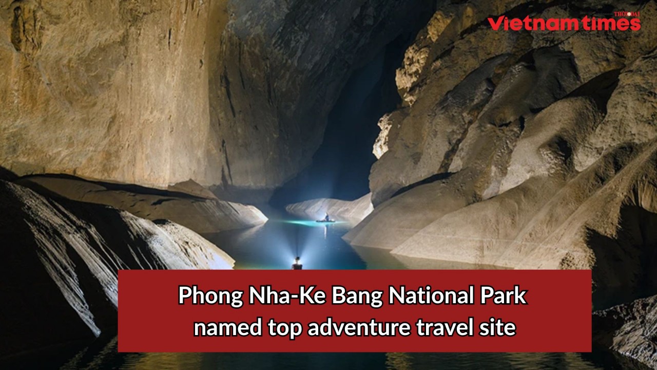
Phong Nha-Ke Bang National Park Named Top Adventure Travel Site
Popular article
 Travel
Vietnam Welcomes Record-High Number of International Visitors
 Travel
Luxury Train From Hanoi To Hai Phong To Be Launched In May
 Travel
Phong Nha Named Top Budget-Friendly Travel Destination for Spring 2025: Agoda
 Travel