The Definition of National Territory and Border

 |
| 1378 landmark is the last landmark of the Vietnam - China border located at the mouth of Bac Luan river on Dau Got island, Mong Cai, Quang Ninh. Surrounded by water, the landmark is built into a rather high cylinder so that at high tide, the column separating the estuary between the two countries can still be seen. (Photo: Nguyen Tien Hung) |
National territory
National territory is the space delimited by that nation's borders. Within the territory, the state of that nation owns and has supreme legislative, executive, and judicial powers. The mentioned supreme power is called "national sovereignty", whose connotation claims that all political, economic, cultural, and social issues belonging to a nation must be decided by that state, while other nations, as well as international organizations have no right to intervene. Each and every organization and individual residing in the territory of a nation must abide by the nation's laws unless otherwise regulated by international treaties that the nation acts as a signatory.
In addition, when it comes to special territorial parts, such as the territorial water contiguous zone, exclusive economic zone, continental shelf, military ship, state-duty military vessels, Ambassador, Consular Agency ... the owning country can exercise only "limited sovereignty", which means the owning country must comply with the laws of the host country and the provisions of the relevant international treaties of which the owning country is a signatory. For example, the coastal state only exercises its sovereign right and jurisdiction over the area adjacent to the territorial sea, exclusive economic zone and continental shelf.
National territory is one of the three basic and essential constituents of the State; which are: Territory, Population, and State. Without its territorial element, a State can not exist in its true meaning.
National territory is the material foundation and environment for each State to exist and develop in indispensable relations in many respects with its neighboring, regional, and international countries.
National border
National borders are the legal barriers that define the boundaries of land, water, airspace, and underground within a nation's territory; the delimitation to distinguish the territory belonging to one nation's sovereignty to that of another country, or the sea areas belonging to that country's sovereign rights and jurisdiction.
When it comes to the definition of national border, there are 2 terms that need clarifying: Borderline and National borders:
A national borderline is a specific line clearly marked on the ground, water surface, and actually marked in the fieldwork with a landmark system and/or other signs, drawn on maps and inscribed in Treaties, Agreements, Border Protocol.
A national border is actually a combination of many surfaces to form a cube that contains the land, water, sky, and underground of the national territory. These surfaces have vertical directions from the center of the earth, across the border, and into the air, including a plane, a curved surface, and a sphere (in order to limit the height of airspace of the national territory).
It should be noted that national borders are only imaginable inferences from national borderlines. Regarding the prerequisites for forming a national border, the national borderlines directly decide the establishment of national borders.
 |
| A border wall in New Mexico, United States (Photo: Reuters) |
Formation process and principles for determining national borders
The formation and development of national borders are always associated with the formation of nations, which has undergone a process of historical expansion and shaping the territorial boundaries between nations. This process takes place in the history of human development through ancient, middle, to the modern and contemporary times, by the popular and recognized territorial acquisition methods in force for each of these historical periods.
Entering the eras of civilization, along with the establishment of class society, the state was born to govern the territory and inhabitants living within its territory. With that birth, borders are also formed and increasingly improved. In the early days, when the first ancient nations were born, there were numerous unclaimed lands and water bodies among the nations; they were natural features and terrain, such as forests, mountains, rivers, deserts, seas. These unclaimed territories were considered as "frontier areas", which is the primary form of national borders.
In the beginning stage of modern history (from 1640 to 1917), due to the establishment of a series of states worldwide and the developed technology and state management skills, the unclaimed territory gradually narrowed, the territorial scope of the nations expanded, became more contiguous, leading to the establishment of borderlines. At first, borderlines only existed in the land. Due to the continuous development of society, the strong impact of science, technology, national territory expanded to the sea, into the air and the underground. Accordingly, the national border is expanded and exists in the following forms: land border, sea border, underground border, and air border.
In order to resolve border and territorial disputes between states, international law and practice have applied common principles, mainly:
-The principle of inheriting international treaties on territorial boundaries.
- The principle of using existing borders.
- The principle of identifying new border segments.
Methods for settling land border disputes between states
Land border disputes between states are a common type of international dispute that is often prioritized to resolve between neighboring countries after establishing diplomatic relations. The risk of military conflict and war may arise when this kind of international dispute is not fully settled. In addition, resolving disputes also contributes to promoting countries to comply and implement international laws more thoroughly. Such settlement shall be subject to peaceful means in accordance with international laws, on the basis of international treaties or practices adopted by the parties, in accordance with Paragraph 1. Article 38 - Statue of the International Court of Justice:
"a. international conventions, whether general or particular, establishing rules expressly recognized by the contesting states;
b. international custom, as evidence of a general practice accepted as law;
c. the general principles of law recognized by civilized nations;
d. subject to the provisions of Article 59, judicial decisions and the teachings of the most highly qualified publicists of the various nations, as subsidiary means for the determination of rules of law.”
In addition to recognizing the principle of peaceful dispute resolution, the UN Charter has also established a system of peaceful measures to resolve international disputes in Article 33: "The parties to any dispute, the continuance of which is likely to endanger the maintenance of international peace and security, shall, first of all, seek a solution by negotiation, enquiry, mediation, conciliation, arbitration, judicial settlement, resort to regional agencies or arrangements, or other peaceful means of their own choice."
The process of settling and establishing land borders between neighboring countries
In order to establish a land border, according to international practices, the concerned states must work together to carry out this important work through 4 stages:
- The first stage: Negotiating and signing the principle agreement whose main content includes unifying legal, political bases, legal procedures, organizational forms, and negotiation mechanism. This is an indispensable premise when all parties have goodwill to fully resolve territorial border disputes.
- The second stage is called border delimitation. This phase mainly deals with the negotiating to resolve disagreements, territorial disputes due to different perceptions to agree on describing the direction of the borderline and showing that direction on a set of indigenous maps chosen and accepted by both parties. All contents of this work are required to be fully, clearly, and accurately expressed in the National Border Delimitation Treaty, called the Border Treaty for short. The content of this Treaty is the foundation, the only legal basis for the parties to implement the demarcation and abornement phase.
-The third stage is the phrase of demarcating and placing of landmarks abornement. This is the phase of transferring the direction of the borderline described in the Border Treaty and is drawn on the attached topographic map into the field trip and fixed those borderlines by a system of international landmarks. This phase is implemented mainly by technical measurement and mapping solutions in the field. The results of this phase are recorded in the boundary demarcation and abornement records, expressed in the form of the Demarcation and Abornement Protocol, attached to the map and other relevant documents. In the course of demarcation, if the two parties find out that there are errors or differences compared to the contents described in the Border Treaty, the demarcation and abornement implementation group has no right to decide on adjustment. However, they must report to their governments for the consensus signing of the Treaty supplementing to the signed Border Treaty.
- The fourth stage: Finally, both parties have to sign agreements to protect and manage borders and national landmarks, including the agreements on the coordination of patrol protection, management of landmarks and borders; the crossing of border gates, the use of water and resources on border rivers, cooperating to exploit landscapes in the border area. These agreements are expressed in agreements and protocols. This is the basis for the management and protection forces and agencies of the concerned parties to work together to build a joint border that ensures long-term peace, cooperation and development for both countries.
References:
1. Construction and protection of territorial rights and national borders
2. Protection of Territorial rights and National borders
3. Lesson Plan for Defense Education class: Protection of Territorial rights
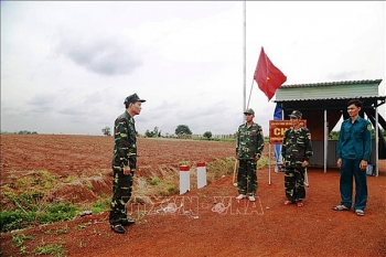 | Borders under strigent control to contain the coronavirus Municipal and provincial border guard forces and agencies are cracking down on travel via border gates, in a bid to prevent further spread of the ... |
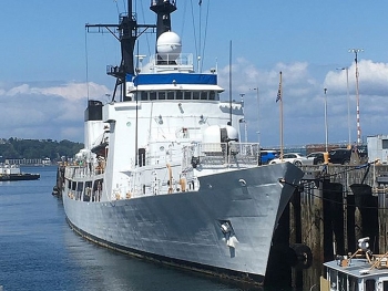 | United States Transfers 2 Patrol Vessels To Vietnam Coast Guard Through the Foreign Military Financing program (FMF), the United States has transferred 2 Hamiltonian-class patrol vessels which worth 58 million USD of the US Coast Guard to the Vietnam Coast Guard. |
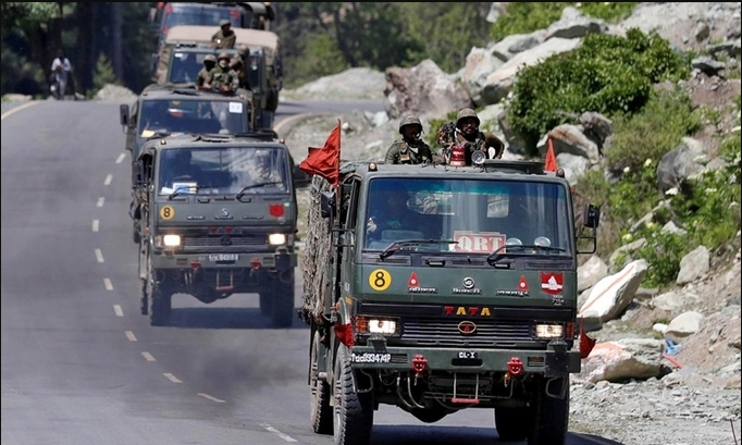
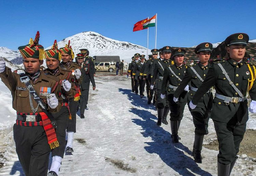 | China, India agree to speed up border troop pull back Chinese and Indian diplomats agreed on July 24 to a fast pull back of troops eyeballing each other across a disputed border in the western ... |
Related Stories
 World
World
Belgium's Experience in Dealing with Land Border Issues
 Seas and islands
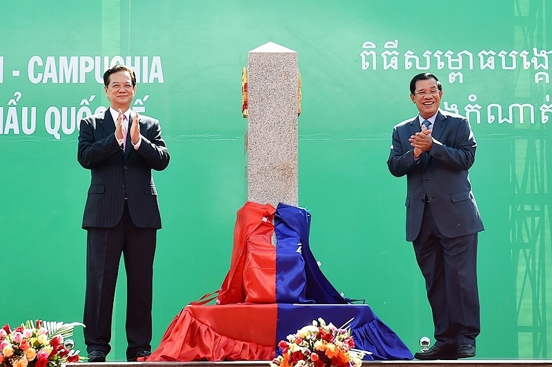
Bu Prang: Differences In Perception About Border Delimitation Between Vietnam And Cambodia
 National
"Our coast is long, beautiful, we have to know how to keep it ..."
Recommended
 Seas and islands
Vietnam Endorses Common Voice on Ocean Jurisdiction
 Seas and islands
Dialogue as Key to Settling Disputes and Advancing Law of the Sea
 Seas and islands
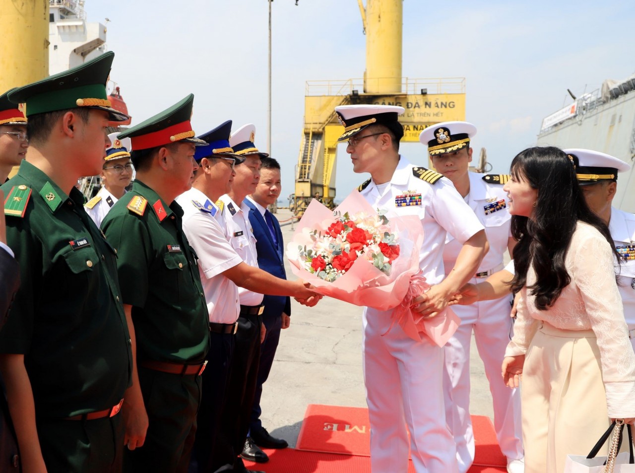
RoK Navy Ship Pays Friendly Visit to Da Nang City
 Seas and islands
Naval Region 5 Promotes Reading Culture, Fosters Patriotism
 Seas and islands
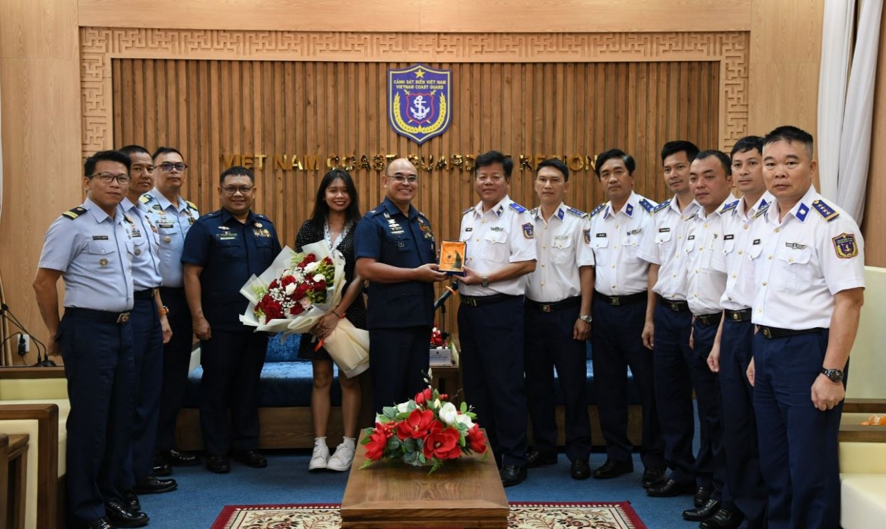
Coast Guard Region 2 Command Hosts Philippine Coast Counterpart
 Seas and islands
Vietnam - Thailand Navy: Coordination to Well Address Problems at Sea
 Seas and islands
Honoring the Fallen: Incense Offering for the 37th Anniversary of Gac Ma
 Seas and islands