The Most "Bucket List' Travel Experiences in North America
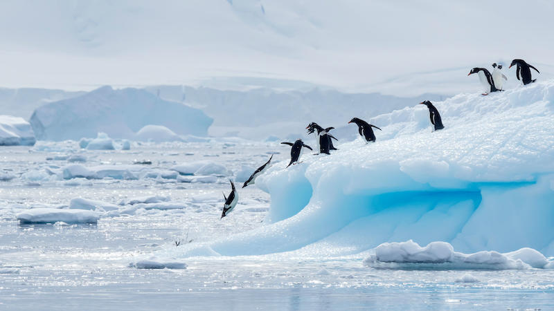
| The Best "Bucket List" Travel Expriences In Antarctica | |
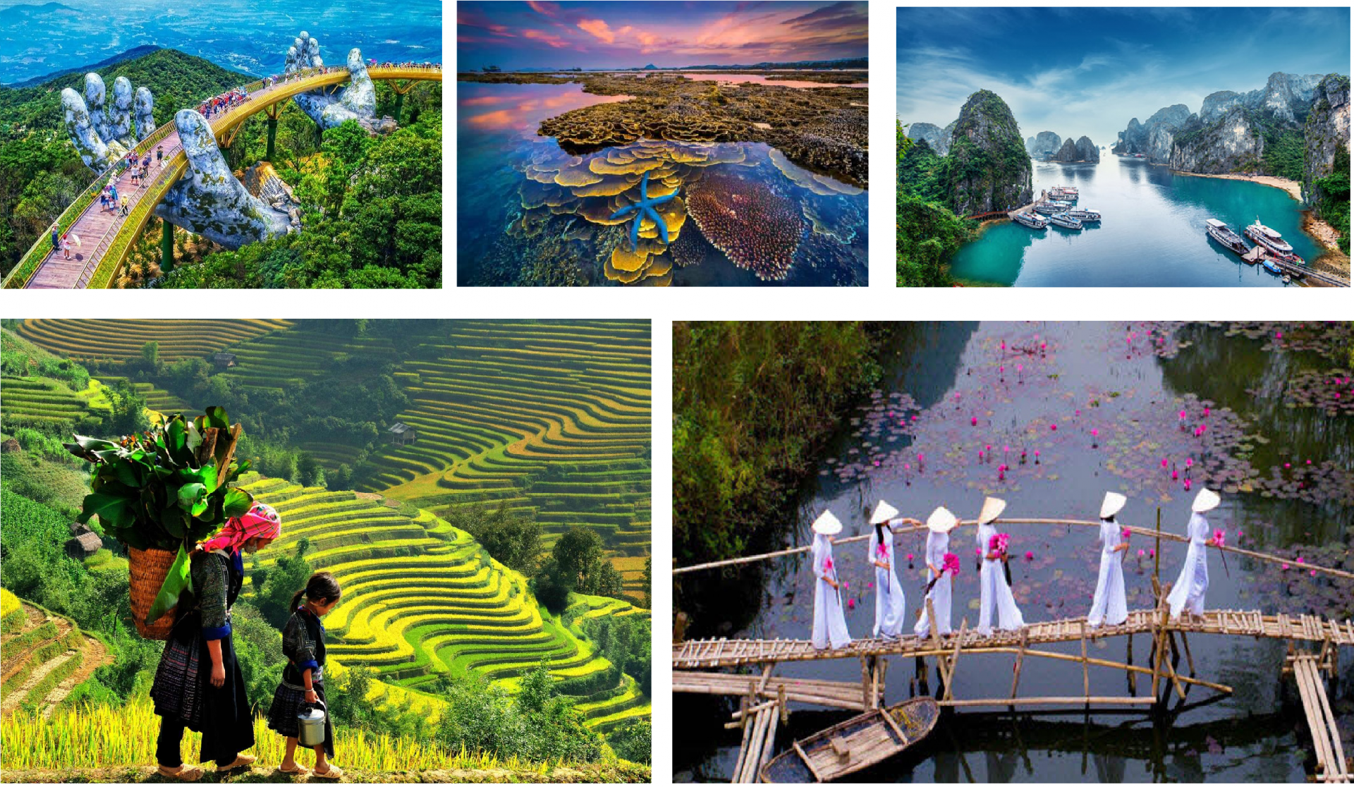
| Vietnamese 'Santa' Delivers Tet Gifts To Needy Children | |
| Most Famous "Bucket List" Destinations For Tourists By Continent |
North America, third largest of the world’s continents, lying for the most part between the Arctic Circle and the Tropic of Cancer. It extends for more than 5,000 miles (8,000 km) to within 500 miles (800 km) of both the North Pole and the Equator and has an east-west extent of 5,000 miles. It covers an area of 9,355,000 square miles (24,230,000 square km).
North America occupies the northern portion of the landmass generally referred to as the New World, the Western Hemisphere, or simply the Americas. Mainland North America is shaped roughly like a triangle, with its base in the north and its apex in the south; associated with the continent is Greenland, the largest island in the world, and such offshore groups as the Arctic Archipelago, the West Indies, Haida Gwaii (formerly the Queen Charlotte Islands), and the Aleutian Islands.
Four big-city travel experiences in North America made the global top 10 list. The rest focused on more rural parts of the continent.
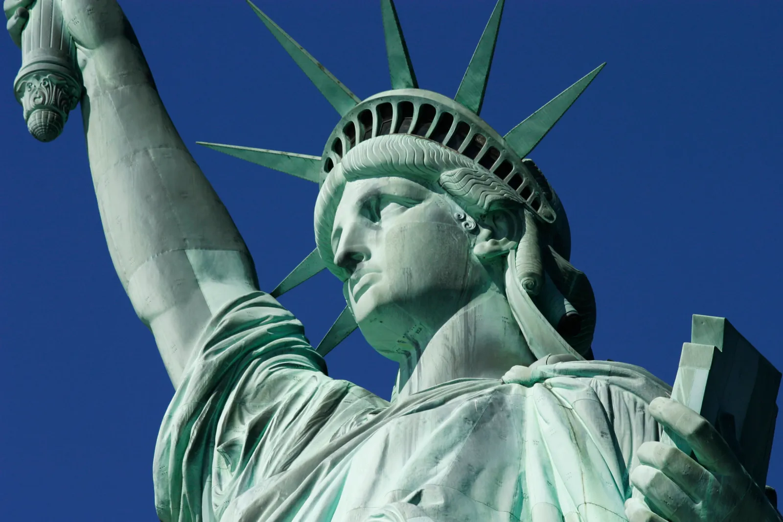
Visiting the Statue of Liberty
 |
| Photo: History |
The Statue of Liberty was a joint effort between France and the United States, intended to commemorate the lasting friendship between the peoples of the two nations. The French sculptor Frederic-Auguste Bartholdi created the statue itself out of sheets of hammered copper, while Alexandre-Gustave Eiffel, the man behind the famed Eiffel Tower, designed the statue’s steel framework. The Statue of Liberty was then given to the United States and erected atop an American-designed pedestal on a small island in Upper New York Bay, now known as Liberty Island, and dedicated by President Grover Cleveland in 1886. Over the years, the statue stood tall as millions of immigrants arrived in America via nearby Ellis Island; in 1986, it underwent an extensive renovation in honor of the centennial of its dedication. Today, the Statue of Liberty remains an enduring symbol of freedom and democracy, as well as one of the world’s most recognizable landmarks.
 |
| Photo: Getty Images |
Around 1865, as the American Civil War drew to a close, the French historian Edouard de Laboulaye proposed that France create a statue to give to the United States in celebration of that nation’s success in building a viable democracy. The sculptor Frederic Auguste Bartholdi, known for largescale sculptures, earned the commission; the goal was to design the sculpture in time for the centennial of the Declaration of Independence in 1876. The project would be a joint effort between the two countries–the French people were responsible for the statue and its assembly, while the Americans would build the pedestal on which it would stand–and a symbol of the friendship between their peoples.
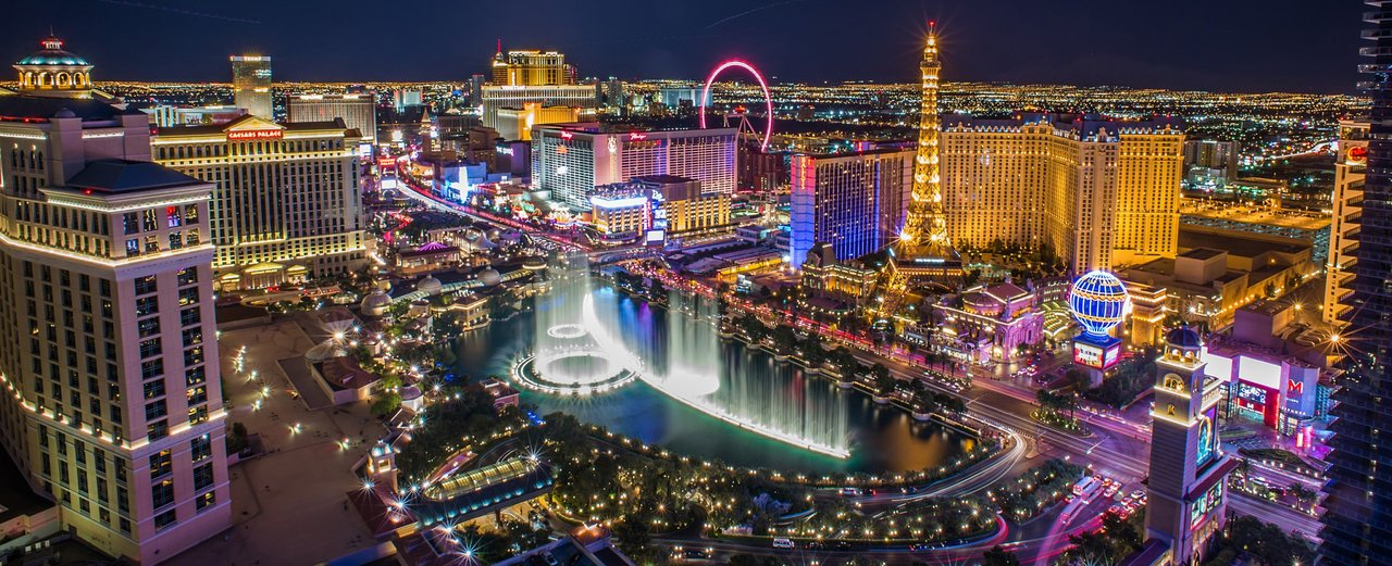
Seeing the Las Vegas Strip
 |
| Photo: TripAdvisor |
The Las Vegas Strip is a stretch of South Las Vegas Boulevard in Clark County, Nevada, that is known for its concentration of resort hotels and casinos. The Strip, as it is known, is about 4.2 mi (6.8 km) long, and is immediately south of the Las Vegas city limits in the unincorporated towns of Paradise and Winchester, but is often referred to simply as "Las Vegas".
Many of the largest hotel, casino, and resort properties in the world are on the Strip, known for its contemporary architecture, lights, and wide variety of attractions. Its hotels, casinos, restaurants, residential high-rises, entertainment offerings, and skyline have established the Strip as one of the most popular and iconic tourist destinations in the world and is one of the driving forces for Las Vegas' economy. Most of the Strip has been designated as an All-American Road, and the North and South Las Vegas Strip routes are classified as Nevada Scenic Byways and National Scenic Byways.
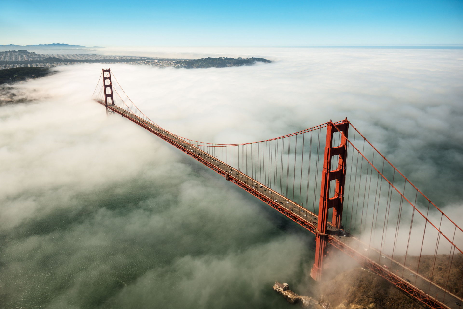
Crossing the Golden Gate Bridge
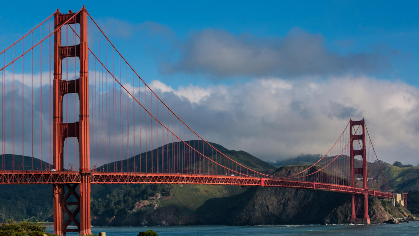
Believe it or not, many were against building the iconic landmark that dramatically connects San Francisco to Marin. When engineer Joseph Strauss' initial design for the Golden Gate Bridge was revealed in 1922, the press declared it "ugly" and architects doubted that a suspension bridge of its length could be structurally sound. Despite opposition, the majestic Golden Gate Bridge opened on May 27, 1937 to much fanfare.
 |
| Photo: Getty Images |
The Golden Gate Bridge we know and love is in an elegant Art Deco style. Strauss worked with architect Irving Morrow to select the bridge's color, International Orange, chosen for the way the hue plays against the surrounding land, sea, and ever-present fog. In case you were wondering, painting the bridge is an ongoing process that happens year-round, to protect it from the corrosive salty bay air. The bridge's name is a nod to the Golden Gate Strait, the entrance between the Pacific Ocean and San Francisco Bay.
Today, the Golden Gate Bridge is recognized as one of the seven modern wonders of the world. The bridge attracts more than 10 million fans a year and is a huge reason visitors flock to the Presidio. It also links visitors to other sites in the Golden Gate National Recreation Area to the north.
 |
| Photo: History |
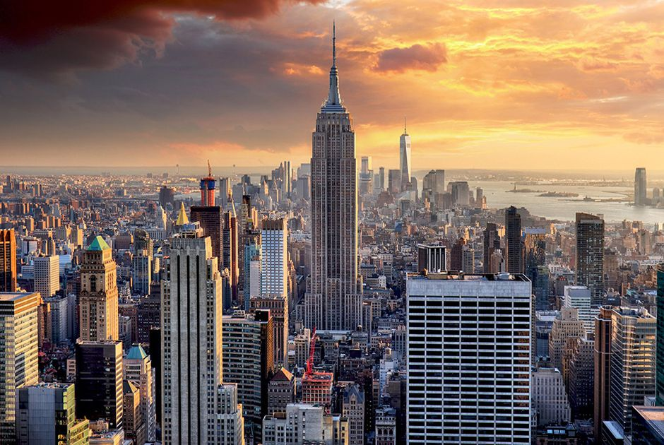
Going to the top of the Empire State Building
The Empire State Building is a 102-story Art Deco skyscraper in Midtown Manhattan in New York City, United States. It was designed by Shreve, Lamb & Harmon and built from 1930 to 1931. Its name is derived from "Empire State", the nickname of the state of New York. The building has a roof height of 1,250 feet (380 m) and stands a total of 1,454 feet (443.2 m) tall, including its antenna. The Empire State Building stood as the world's tallest building until the construction of the World Trade Center in 1970; following its collapse in 2001, the Empire State Building was again the city's tallest skyscraper until 2012. As of 2020, the building is the seventh-tallest building in New York City, the ninth-tallest completed skyscraper in the United States, the 49th-tallest in the world, and the sixth-tallest freestanding structure in the Americas.
 |
| Photo: Getty Images |
The site of the Empire State Building, in Midtown South on the west side of Fifth Avenue between West 33rd and 34th Streets, was developed in 1893 as the Waldorf–Astoria Hotel. In 1929, Empire State Inc. acquired the site and devised plans for a skyscraper there. The design for the Empire State Building was changed fifteen times until it was ensured to be the world's tallest building. Construction started on March 17, 1930, and the building opened thirteen and a half months afterward on May 1, 1931. Despite favorable publicity related to the building's construction, because of the Great Depression and World War II, its owners did not make a profit until the early 1950s.
Taking a helicopter tour over the Grand Canyon
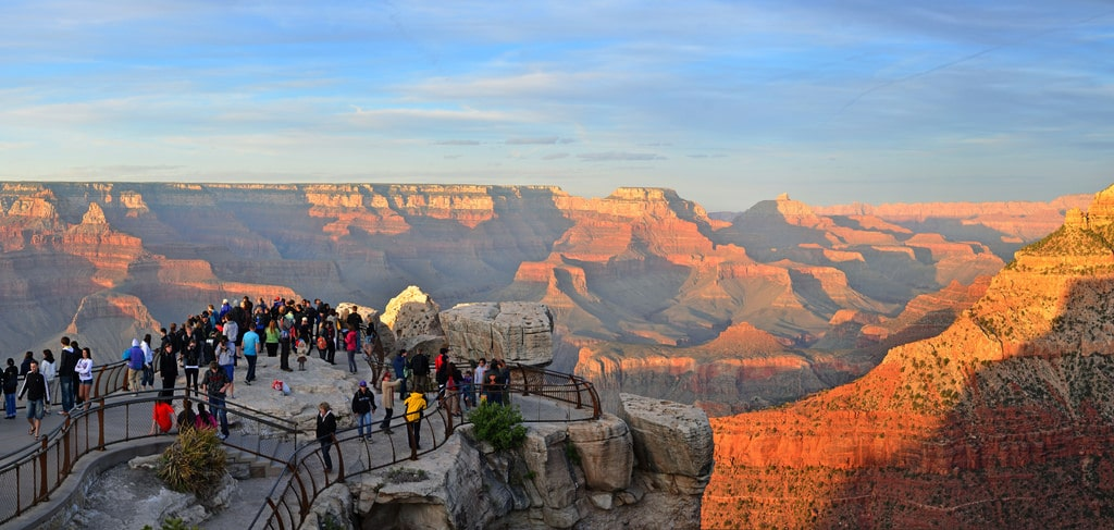
Grand Canyon National Park is split into two sections: the South Rim and the North Rim, located more than four hours apart by car. Then there’s Grand Canyon West, located on the Hualapai Native American Reservation, four hours from the South Rim and nearly seven hours from the North Rim. If you’re planning a trip to the Grand Canyon and your time is limited, where should you go?
The South Rim is the most visited part of the Grand Canyon for a reason. It has more viewpoints than the North Rim, with more expansive views of the canyon’s depth, as well as a wider range of lodging options and other visitor services. It also has plenty of hiking trails and activities like river rafting and mule rides. If you’re looking for classic Grand Canyon views, this is the place to go.
 |
| Photo: Getty Images |
Popular with hikers and photographers, the North Rim is the South Rim’s quieter, more heavily forested cousin. While the views may be less spectacular, many travelers prefer the North Rim for its undisturbed wildlife and pristine trails.
The key draw at Grand Canyon West is the Skywalk, a glass bridge that extends 70 feet over the canyon for dizzying views on all sides—including right under your feet. (Important note: The Skywalk does not permit cameras or phones. Professional photos are available for sale.) This isn’t the best bet for avid hikers, as there are only two (relatively easy) trails here, but other activities include zip-lining, pontoon boat rides, and touring a Native American village. Grand Canyon West is the closest part of the canyon to Las Vegas, making it a convenient, though long, day trip.
Note that because Grand Canyon West is located on Native American land, it requires a separate entry fee than the North and South Rims, which are administered by the National Park Service.
Road-tripping down Route 66
 |
| Photo: Getty Images |
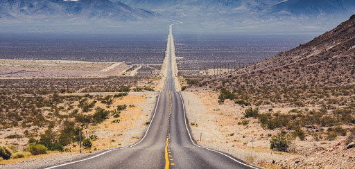
Route 66 is the quintessential embodiment of the road and all its greatest promises: freedom and serendipity, kitsch and living history, and a case study of the very particular way Americans have moved and multiplied. You can certainly travel eastward on Route 66 (in fact, we highly recommend it), but there’s no denying the symbolic strength of at least one westward journey along its patchwork of asphalt.
Although it only existed as a unified, legally codified road for 59 years—between 1926 and 1985—Route 66 became a great symbolic trailway of human civilization. It will live forever as a route whose traffic reshaped the world of its time, transporting generations of adventurers, migrants, grifters, and dreamers toward untold opportunities.
 |
| Photo: History |
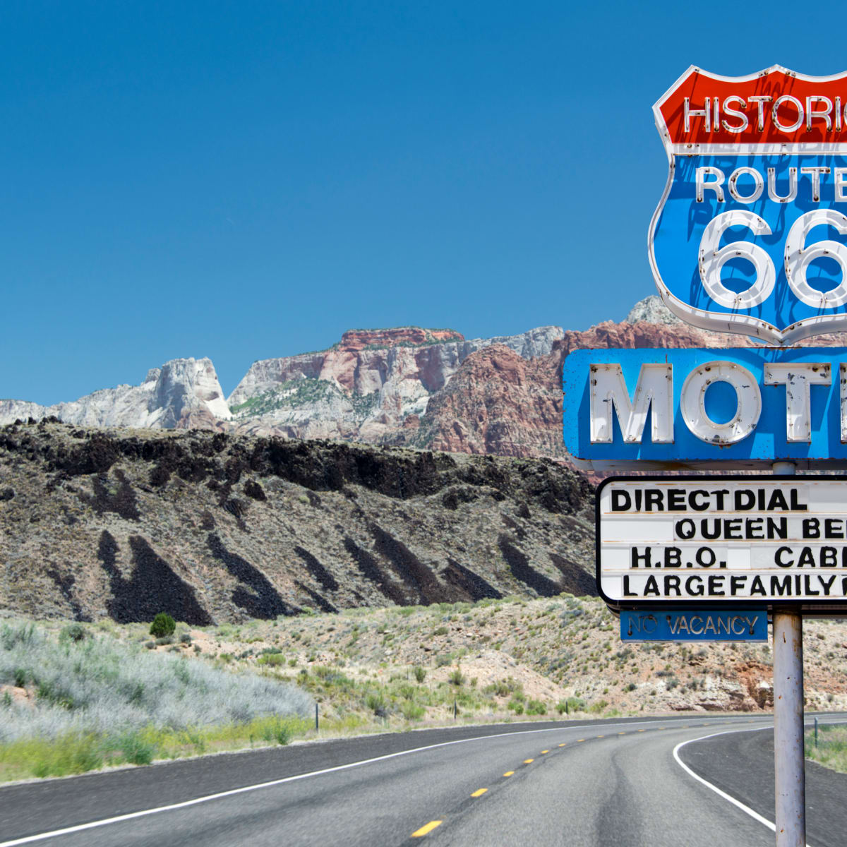
Route 66 gave rise to new towns, new industries, and a new vernacular architecture. A great deal of it was lost when most cross-country travel migrated to the interstates, but today, a thriving community of people who live along the road—travelers, well-wishers, and preservationists—share news and stories, raise money to protect landmarks, maintain museums, and otherwise work hard to protect its legacy. The route’s future, thanks to roadtrippers like you, looks bright.
Attending Coachella
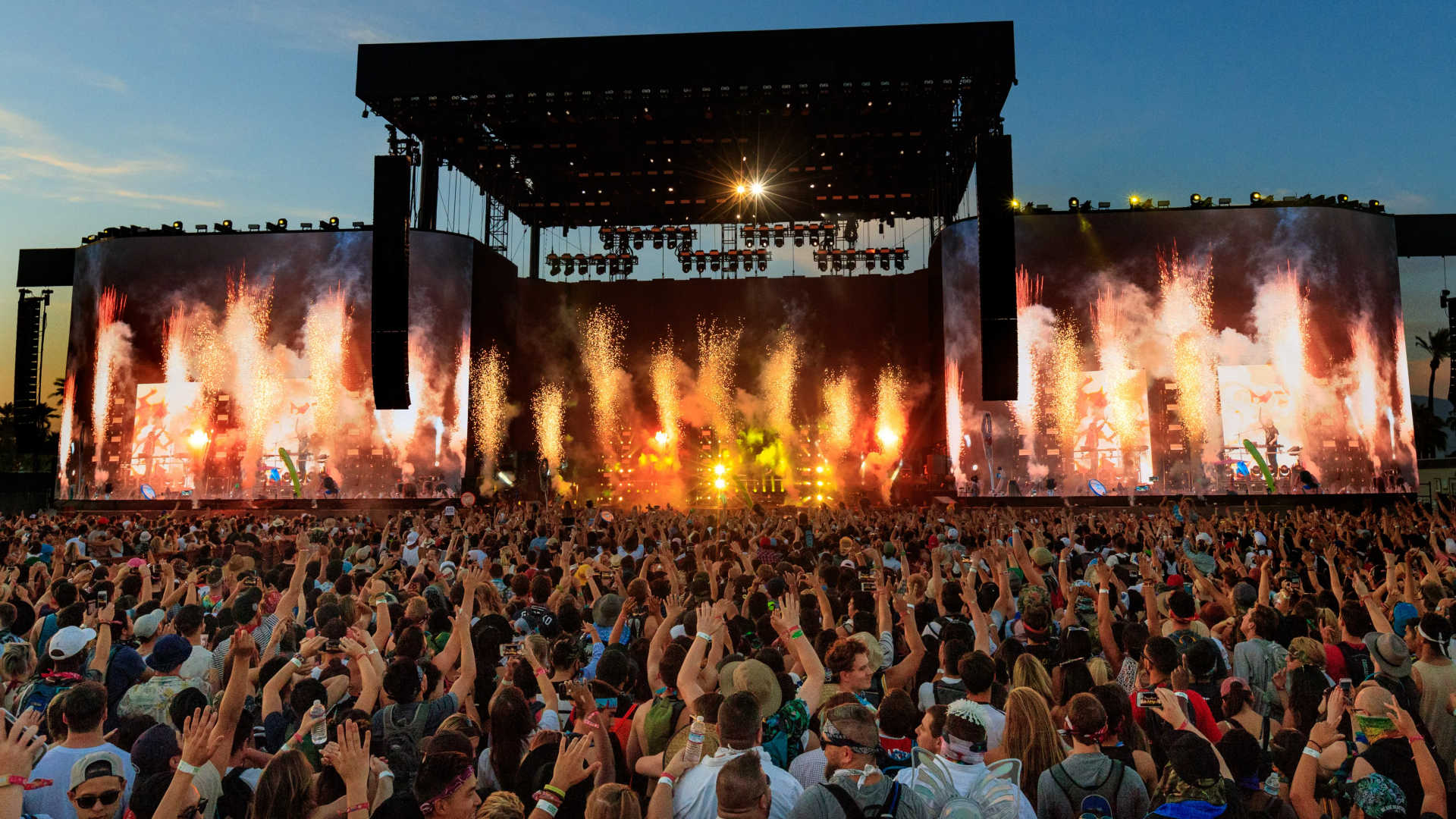
The Coachella Valley Music and Arts Festival (commonly called Coachella or the Coachella Festival) is an annual music and arts festival held at the Empire Polo Club in Indio, California, in the Coachella Valley in the Colorado Desert. It was co-founded by Paul Tollett and Rick Van Santen in 1999, and is organized by Goldenvoice, a subsidiary of AEG Presents. The event features musical artists from many genres of music, including rock, pop, indie, hip hop and electronic dance music, as well as art installations and sculptures. Across the grounds, several stages continuously host live music.
 |
| Photo: Pitchfork |
The festival's origins trace back to a 1993 concert that Pearl Jam performed at the Empire Polo Club while boycotting venues controlled by Ticketmaster. The show validated the site's viability for hosting large events, leading to the inaugural Coachella Festival being held over the course of two days in October 1999, three months after Woodstock '99. After no event was held in 2000, Coachella returned on an annual basis beginning in April 2001 as a single-day event. In 2002, the festival reverted to a two-day format. Coachella was expanded to a third day in 2007 and eventually a second weekend in 2012; it is now held on consecutive three-day weekends in April, with the same lineup each weekend. Organizers began permitting spectators to camp on the grounds in 2003, one of several expansions and additions in the festival's history.
Seeing Niagara Falls at the U.S.-Canada border
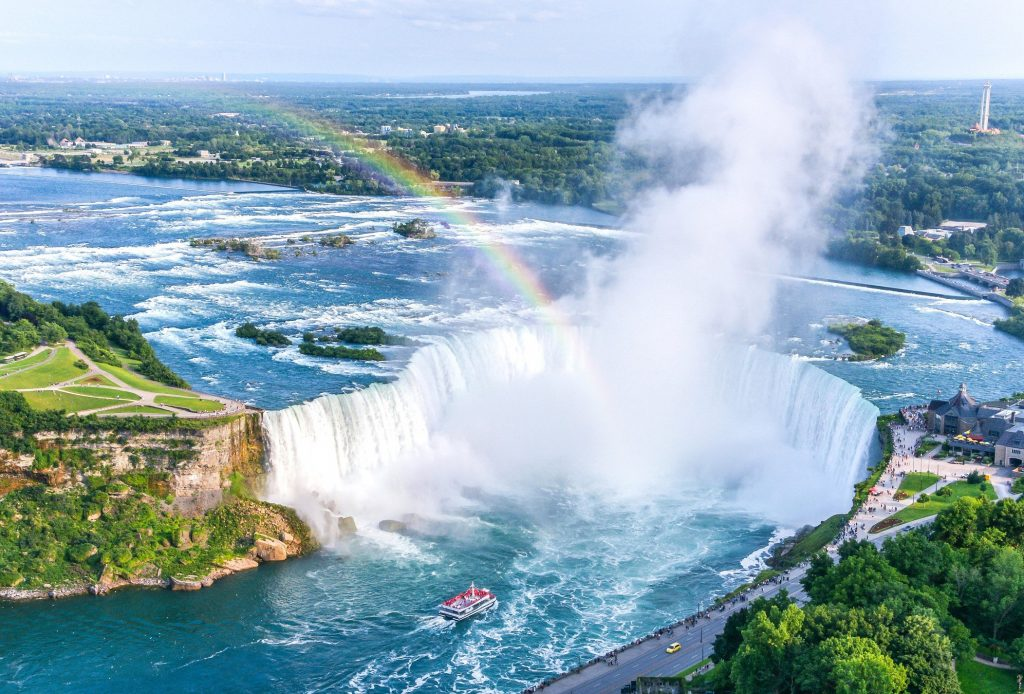
Niagara Falls is a group of three waterfalls at the southern end of Niagara Gorge, spanning the border between the province of Ontario in Canada and the state of New York in the United States. The largest of the three is Horseshoe Falls, also known as Canadian Falls, which straddles the international border of the two countries. The smaller American Falls and Bridal Veil Falls lie within the United States. Bridal Veil Falls is separated from Horseshoe Falls by Goat Island and from American Falls by Luna Island, with both islands situated in New York.
 |
| Photo: TEC |
Flowing north as part of the Niagara River, which drains Lake Erie into Lake Ontario, the combined falls have the highest flow rate of any waterfall in North America that has a vertical drop of more than 50 m (160 ft). During peak daytime tourist hours, more than 168,000 m3 (six million cubic feet) of water goes over the crest of the falls every minute. Horseshoe Falls is the most powerful waterfall in North America, as measured by flow rate. Niagara Falls is famed for its beauty and is a valuable source of hydroelectric power. Balancing recreational, commercial, and industrial uses has been a challenge for the stewards of the falls since the 19th century.
Camping in Canada’s Banff National Park
 |
| Photo: PeakVisor |
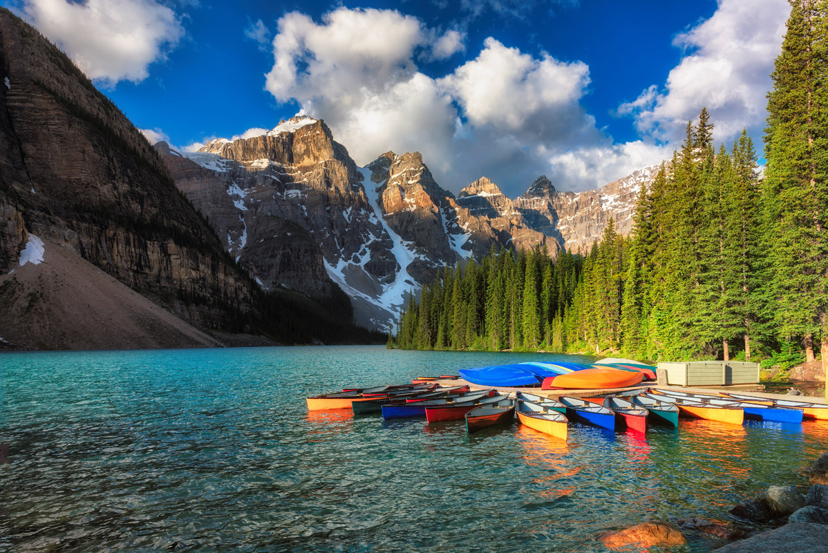
Simplicity marks the origin of Banff—Canada’s first national park. In 1883, on the slopes of the Canadian Rocky Mountains, three railway workers discovered a natural hot spring, and from there the park was born. Nowadays, Banff is one of the world’s premier destinations, spanning a region of unparalleled majestic mountain scenery. Every year, millions of visitors make the pilgrimage to Banff to take in its stunning views and arsenal of activities.
Each year, millions of visitors come to Banff to marvel at the emerald waters of Lake Louise, walk amongst the flower-filled heavens at Sunshine Meadows, and drive beneath the towering jagged peaks lining the Icefields Parkway.
Snow-capped peaks, glistening glaciers and sweeping vistas are just one part of the allure of Banff National Park. We also offer all the best summer and winter activities in the Canadian Rockies. We offer the best white water rafting Banff trip in the Canadian Rockies! Plus our golfing, hiking, bird-watching, mountain climbing, canoeing, skiing, fishing, and all types of guided tours are second to none.. Would you like to relax for a few days? We have the best hotels, accommodations, inns, and resorts. Banff is your vacation and adventure destination.
You can enjoy all the comforts of home in the town of Banff and the village of Lake Louise, or step out into the wilderness and the home of some of North America’s wildest creatures, including grizzly bears, caribou and wolves.
Seeing Mount Rushmore
 |
| Photo: The New York Times |
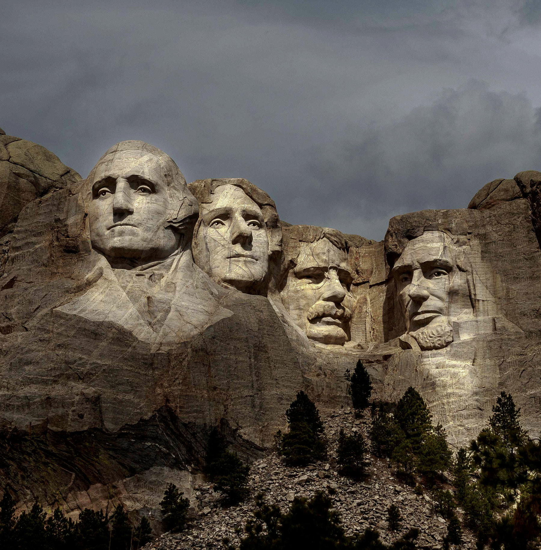
Mount Rushmore National Memorial is a large-scale mountain sculpture by artist Gutzon Borglum. The figures of America's most prominent U.S. presidents--George Washington, Thomas Jefferson, Abraham Lincoln, and Theodore Roosevelt—represent 150 years of American history.
The Memorial is located near Keystone in the Black Hills of South Dakota, roughly 30 miles from Rapid City.
Each year, approximately three million tourists from all over the world visit Mount Rushmore to experience this patriotic site. Today, the wonder of the mountain reverberates through every visitor. The four "great faces" of the presidents tower 5,725 feet above sea level and are scaled to men who would stand 465 feet tall.
There are many amenities at the site including the Mount Rushmore Audio Tour, Lincoln Borglum Visitor Center & Museum, the Presidential Trail, Youth Exploration Area, Sculptor’s Studio, a parking garage with R.V. parking, pet exercise areas, , the Carvers Café, Memorial Ice Cream Shop, Gift Shop and the Mount Rushmore Bookstores.
 | Walking in Green Tranquility: Lotus Pond at Ninh Binh's Mua Cave Located at the foot of Ngoa Long Mountain, the lotus pond at Mua Cave is one of the most beautiful and famous attraction to the ... |
 | Unique "Bun Ken" Dish in Phu Quoc Island Impresses Touristst Not only it is impressive for it’s “loud name”, Bun Ken (Ken Vermicelli) also attracts tourists by its sweet and rich taste of multiple seafood ... |
 | Vietnamese Woman Quits Job, Backpacking 600 Days To Find Meaning Of Life After two years working multiple jobs at a time, Thuy Trang realized she needed to slow down and enjoy life and adventure on the open ... |
Recommended
 World
World
India reports 9 Pakistani Aircraft Destroyed In Operation Sindoor Strikes
 World
World
Thailand Positions Itself As a Global Wellness Destination
 World
World
Indonesia Accelerates Procedures to Join OECD
 World
World
South Korea elects Lee Jae-myung president
Popular article
 World
World
22nd Shangri-La Dialogue: Japan, Philippines boost defence cooperation
 World
World
Pakistan NCRC report explores emerging child rights issues
 World
World
"India has right to defend herself against terror," says German Foreign Minister, endorses Op Sindoor
 World
World

