Vietnam Rice Fields look amazing and monitory from the space
| Temporary suspension of rice exports given thumbs-up | |
| Vietnam to stock 190.000 tons of rice for food security amid COVID-19 | |
| Vietnam suspends rice exports for food security |


ESA - European Space Agency is an intergovernmental organisation of 22 member statesdedicated to the exploration of space. Its report on 27 March 2020 of rice fields in Vietnam recorded the amazing and interesting view looked only from the space that impresses you. The monitoring is helpful to observe and map the evolution of rice cultivation, beside enhance our ability to detect waterlogged ground and penetrate the humid cloud coverage typical of Asian rice-cultivating regions, especially the south of Vietnam - the world third rice-granary .
Here is the transcript reported in the video:
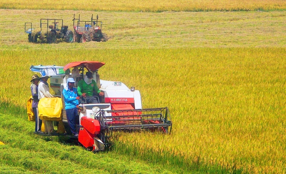
" In Vietnam, rice has been a strategic crop for national food security. Vietnam is the fifth largest producer of rice in the world, the majority of which is grown in the Mekong Delta - a vast flood plain and one of Asia's most fertile agricultural zones.
Such an enormous amount of rice is produced in the Mekong Delta that it is often referred to as Vietnam's 'rice bowl'. The rice grown here produces enough to make Vietnam the world's third biggest rice exporter - after India and Thailand.
This multi-temporal image combines three radar acquisitions from the Copernicus Sentinel-1 mission taken around one month apart to show changes in crop and land conditions over time. The bright colours in the image come from changes on the ground that have occurred between acquisitions.
Here, the first image, from 28 October 2019, picks out changes in pink and red, the second from 21 November shows changes in green, and the third image, from 27 December, shows changes in blue. As seen in the image, the majority of growth in the rice fields is visible in December. The grey areas represent either built-up areas or patches of land that saw no changes during this time.
 |
| Earth from Space: Vietnam Rice Fields (Photo: spaceref) |
Bodies of water reflect the radar signal away from the satellite, making water appear dark. This can be seen in the Bassac River, also known as the Hau river, in the right of the image. Ships in the river can be seen as bright, multi-coloured dots.
The combination of radar images from the Copernicus Sentinel-1 mission can help monitor and map the evolution of rice cultivation. Radar sensors are particularly useful owing to their ability to detect waterlogged ground and penetrate the humid cloud coverage typical of Asian rice-cultivating regions."
 | Ripening rice fields in Vietnam’s northwestern region Terraced paddy fields are among attractions of Y Ty commune in the northwestern province of Lao Cai. |
 | March - perfect time for trekking terraced rice fields in Vietnam For outdoor soirees, March marks a great time to trek to the hill tribe villages around Sapa in northern Vietnam, according to Lonely Planet. |
 | Highland rice fields ripen Terraced fields in the northern mountainous province of Lao Cai are producing ripened rice, giving the area a new charming appearance. |


Related Stories
 Friendship
Vietnam, Cuba Enhance Cooperation In Rice Production
 Economy
Rice Production Presents Great Opportunities For Circular Economy Development in Vietnam
 Viet's Home
Several Records to be Broken at International Festival of Vietnam Rice Industry
 Travel
Rice in Vietnam: Discover The Finest Rice Varieties
In topics

 Economy
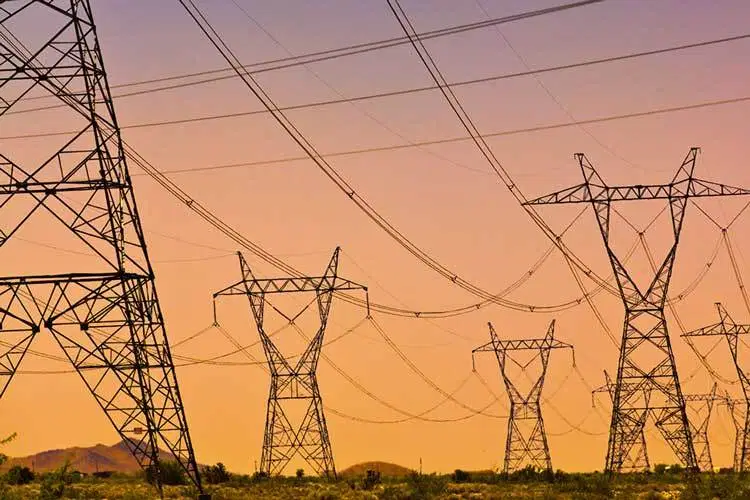
Millions of Viet’s homes may enjoy 10% electric price cut amid Covid-19 outbreak
Recommended
 Travel
Vietnam Through Australian Eyes: Land of Flavor, Warmth, and Timeless Charm
 Travel
Strategies for Sustainable Growth of Vietnam’s Tourism from International Markets
 Travel
Vietnam Strengthens Its Presence On The Global Tourism Map
 Multimedia
Phong Nha-Ke Bang National Park Named Top Adventure Travel Site
Popular article
 Travel
Vietnam Welcomes Record-High Number of International Visitors
 Travel
Luxury Train From Hanoi To Hai Phong To Be Launched In May
 Travel
Phong Nha Named Top Budget-Friendly Travel Destination for Spring 2025: Agoda
 Travel