Vietnamese Professor Praised by Japanese Science Magazine
| Vietnam Researchers Work on Project to Test for Covid via Coughing | |
| Vietnam researches production of single-dose Covid-19 vaccine | |
| Chinese researchers find batch of new coronaviruses in bats |


 |
| The salinity index was extracted and analyzed from satellite images. Photo: Research team |
Overcoming nearly 400 thousand research articles in many different journals, research and evaluation of salinity indicators in the Mekong River region since 2017 by Dr. Nguyen Kim Anh, Institute of Geography, Vietnam Academy of Science and Technology and colleagues received the award "Scientific articles of the most interest in 2021" reviewed by Japan's Progress in Earth and Planetary Science (PEPS) magazine in June.
The work has up to 18,000 reads/downloads in a year due to the important research topic. The research method as conducted quickly and accurately, using remote sensing satellite images to assess the situation of salinity. Compared with the traditional method, using satellite images does not take time to measure in the field but still monitor close to real time, without limitation in time and space analysis, low cost and high accuracy.
In the study, Dr. Kim Anh also pointed out that the analysis of soil samples and processing of satellite images is the decisive factor in determining the accuracy of the index, because the data is often limited due to cloud cover. The team has filtered noise to remove the external factors of climate and weather, thereby increasing image quality and accuracy when evaluating. Then, they combined a specialized analysis tool to calculate and extract the indicators from the satellite images.
"Each object on the satellite image has its own reflectance value, this difference helps the team determine whether the soil on the surface is rice land, bare land or ponds," said Dr. Kim Anh.
 |
| Dr. Kim Anh received a prestigious award from Progress in Earth and Planetary Science (PEPS) Japan magazine. Photo: Kim Anh |
Born in Hanoi, she chose to study Geodesy, University of Mining and Geology only "to be close to home, convenient to travel", but she did not expect this field to capture her passion when she had the opportunity to be close to nature through field trips since student time. Graduating with perfect grades, she interned and worked at the Institute of Geography with the work of researching cartography, remote sensing, and geographic information systems. In 2014, she continued to work as a doctoral student in Taiwan, where the climate and weather conditions are partly similar to Vietnam, favorable for environmental research and assessment.
Returning to Vietnam, during a field trip in the Mekong Delta in 2017, she found that people did not have fresh water. Living and raising livestock must use water from drilled wells, and farming is also difficult because of saline water. At that time, she began to delve deeper into this serious environmental problem in Vietnam.
With the support of her colleagues, Dr. Kim Anh used satellite image data to assess the level of salinity in the area. Experimental application in Tra Vinh province to measure salinity in plants and soil shows that the indices extracted from satellite images are close to survey data in the area.
Based on this data, the research team assessed that the situation of saline intrusion in Tra Vinh province is at an alarming level. The group aims to map saline soils to help Mekong Delta farmers better choose suitable crops and reduce economic losses in agriculture.
When she heard that the group's research had won the award, she said that "the group has more motivation to continue to find new effective methods, directly solving environmental problems that Vietnam and the region face."
To increase the accuracy of the method, the team plans to combine satellite imagery with machine learning and artificial intelligence to make better use of the material with higher resolution. In addition, Dr. Kim Anh also aims to assess the environmental vulnerability to the conversion of land cover and urban green space to provide strategic information on ecology and the environment, propose appropriate policy measures for improvement and recovery.
 | New research seeks to crack the code of coral reef heat resilience Climate change, however, is rapidly accelerating its path toward extinction, threatening the safety, livelihood, and food security of almost one billion people across the globe. |
 | MoMo, NGO help disadvantaged children get birth certificates With the support and companionship of the MoMo, a mobile wallet and digital payment application, the Research Centre for Management and Sustainable Development (MSD) has ... |
 | Japan gifts Vietnam with marine research vessel Vessel and marine plastic waste monitoring equipment with a total value of JPY 1,4 billion (nearly USD 9,267,000) is gifted to Vietnam by Japan to ... |
Related Stories
 National
Vietnam News Today (Apr. 21): International Troops to March in Vietnam’s Reunification Day Parade
 Friendship
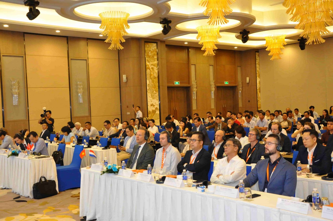
Vietnam - Netherlands Collaborate on Sustainable Solutions for Aquaculture
Recommended
 Overseas Vietnamese
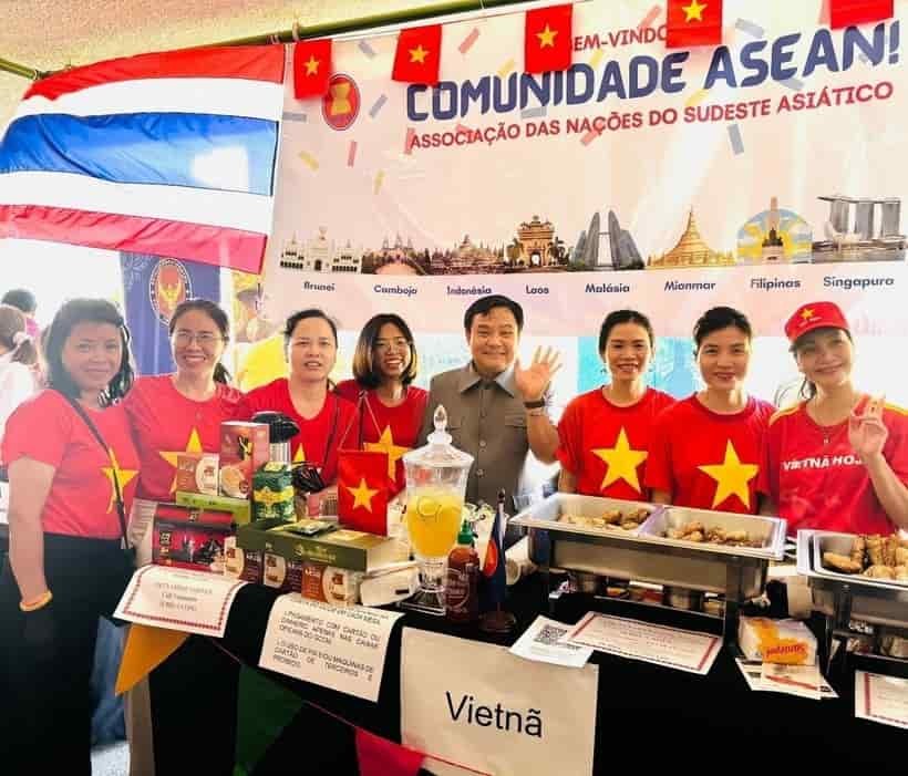
Vietnam Brings Flavor and Culture to Brazil’s International Fair
 Overseas Vietnamese
Contribute to Form a "Global Vietnamese Ecosystem"
 Overseas Vietnamese
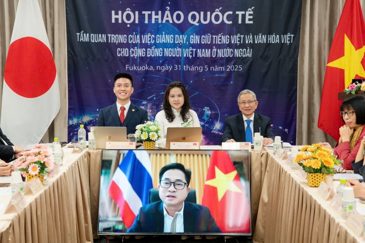
Language and Vocational School for Vietnamese launched in Germany
 Overseas Vietnamese
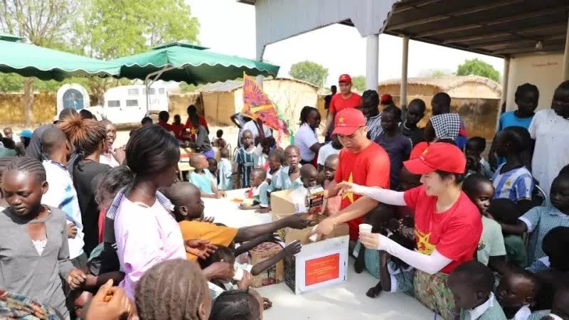
A Heart-warming International Children's Day in Abyei
 Overseas Vietnamese
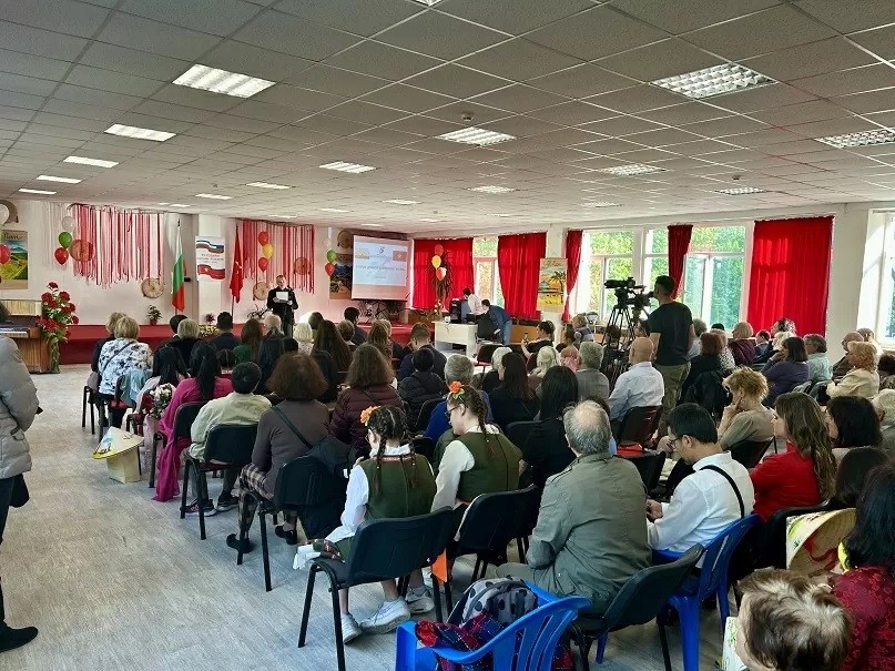
Art Program Deepens Vietnam-Bulgaria Cultural Exchange and Friendship
 Overseas Vietnamese
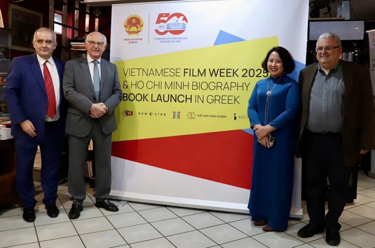
First Vietnamese Film Week Opens in Greece
 Overseas Vietnamese
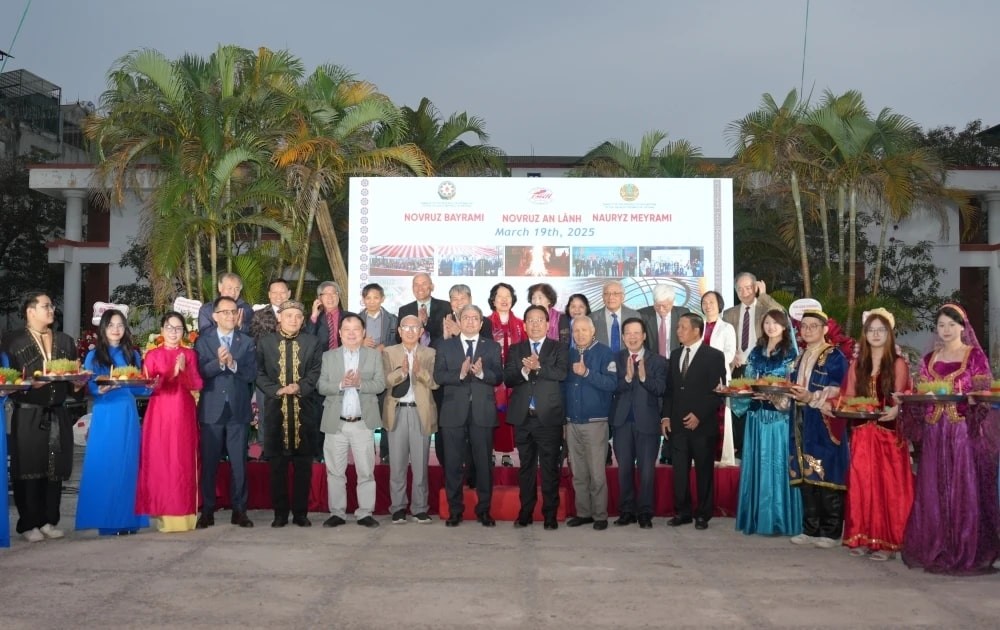
Strong Bonds Between Vietnam And Belarus, Azerbaijan, and Kazakhstan
 Overseas Vietnamese