Japanese Prof translates book affirming Vietnam’s sea, island sovereignty
 |
| The Japanese version of the book “Hoang Sa - Truong Sa: Luan cu va Su kien” (Hoang Sa - Truong Sa: Evidence and Events). Photos: VNA |
According to VNA, the original version named “Hoang Sa - Truong Sa: Luan cu va Su kien” (Hoang Sa - Truong Sa: Evidence and Events) by author Dinh Kim Phuc was published by the Thoi Dai (Times) Publishing House in 2012.
The 263-page book provides historical evidence and international legal grounds affirming Vietnam’s sovereignty over the two archipelagoes and opposing illegal sovereignty claims.
With four parts, the book features East Sea disputes and appropriate solutions. Its appendix includes interviews with domestic and foreign scholars.
The Japanese version is being distributed by many publishing houses in Japan and will be used as a reference document by Japanese research institutes, universities and experts, helping to reinforce the historical evidence confirming Vietnam’s sea and island sovereignty, which has been largely recognised by the international community and Japan in particular.
Vietnam has established and exercised its sovereignty over Hoang Sa and Truong Sa archipelagoes in a peaceful and continuous manner in line with international law at least since the 17th century.
According to Vietnam’s feudal state history, thousands of sailors overcame roaring waves and storms to survey sea routes, plant milestones and erect steles affirming national territory in Hoang Sa and Truong Sa archipelagos, and mined marine resources on the orders of the ruling Nguyen Lords. Their missions were full of dangers, and many of them never returned to land.
The two archipelagos hold strategic locations, and the country’s sovereignty over them is clearly reflected through historical documents.
Bien Dong Sea (or East Sea) borders Vietnam in the east and the south. Vietnamese people have long called this body of water “Bien Dong” because it is east of the country. The Hoang Sa and Truong Sa archipelagos are at the centre of this sea, one of the busiest shipping lanes in the world.
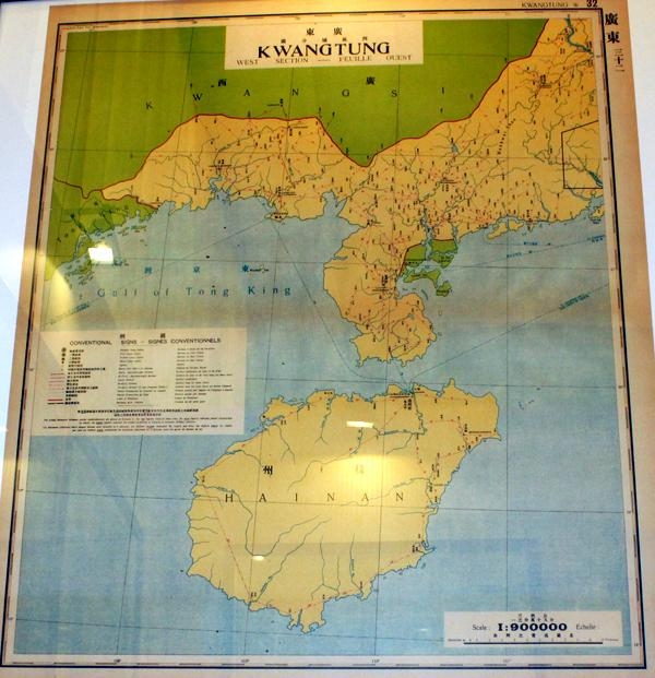 |
| Map of Guangdong Province with Hainan Island as the southernmost territory of China in the Atlas. |
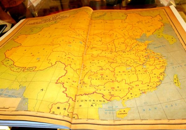 |
| The Atlas issued by the Chinese Ministry of Transport in Nanjing in 1933. Chinese territory only stops in Hainan Island.1933. |
In March, a collection of 20 books on Vietnam’s sea and island sovereignty has been released to the domestic public.
Launched by the Information and Communications Publishing House, the books include studies, documents, legal and historical evidence affirming the sovereignty of Vietnam over the country’s seas and islands, including the Hoang Sa and Truong Sa archipelagos.
Many exhibitions displayed documents proving that Chinese territory only stops at Hainan Island and confirming Hoang Sa and Truong Sa belonging to Vietnam have been organised nationwide.
These event aimed to raise the solidarity and responsibility of Vietnamese both at home and abroad for the protection of the country’s sea and island sovereignty.
It also affirmed Vietnam’s determination to defend its sacred land, airspace and waters, helping international friends, including the Chinese, understand Vietnam’s wish to maintain peace and stability in the region./.
 | China urges US to immediately withdraw or faces proper response Analysts expect the Chinese government to respond by ordering one of them closed. |
 | ASEAN Regional Forum SOM: Complex developments and incidents in East Sea spark concerns During ASEAN Regional Forum Senior Officials’ Meeting (ARF SOM), delegates shared views on common issues including the Covid-19 pandemic and complicated situation in the East Sea ... |
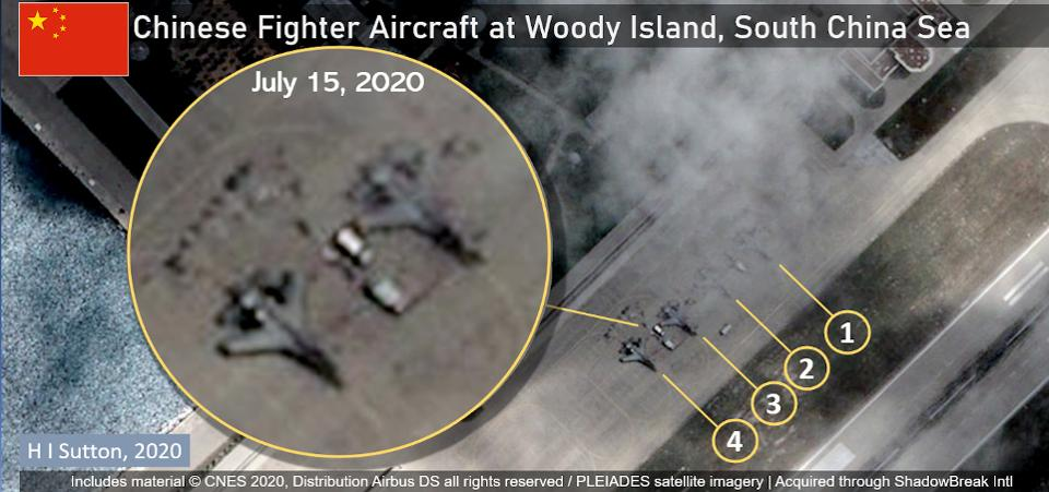 | US Ambassadors in ASEAN countries debunk China’s ambition in Bien Dong Sea Several US Ambassadors in ASEAN countries have raised its voice to respond to the US’ rejection of Beijing’s mostly unlawful sovereignty claims in the South ... |
 Seas and islands
Vietnam Demands China Respect The Country's Sovereignty in East Sea
 Focus
Focus
Promoting Substantive And Effective Code of Conduct in The South China Sea
Recommended
 Seas and islands
Vietnam Endorses Common Voice on Ocean Jurisdiction
 Seas and islands
Dialogue as Key to Settling Disputes and Advancing Law of the Sea
 Seas and islands
RoK Navy Ship Pays Friendly Visit to Da Nang City
 Seas and islands
Naval Region 5 Promotes Reading Culture, Fosters Patriotism
 Seas and islands
Coast Guard Region 2 Command Hosts Philippine Coast Counterpart
 Seas and islands
Vietnam - Thailand Navy: Coordination to Well Address Problems at Sea
 Seas and islands
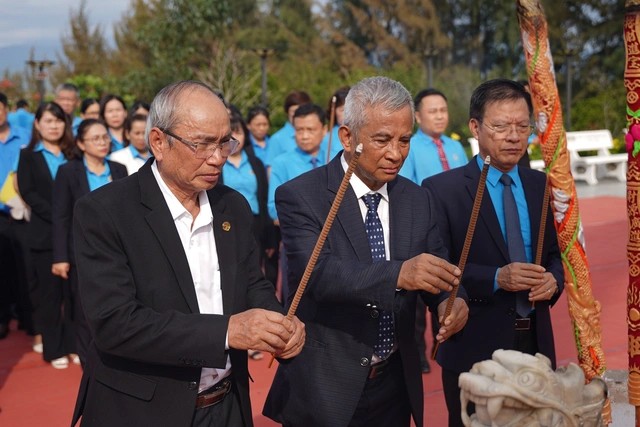
Honoring the Fallen: Incense Offering for the 37th Anniversary of Gac Ma
 Seas and islands


