Spectacular angles of Nho Que River in Northern Vietnam
| Northern Vietnam’s marvelous lotus lagoon suddenly blooms amidst autumn | |
| “Worth-try” appetizing seafood on Cat Ba Island, Northern Vietnam | |
| Ripening rice season adorns beauty of Northern Vietnam |


 |
| Nho Que River seen from Ma Pi Leng Pass. From Ma Pi Leng Pass, tourists can capture on their eye the overview of thrilling Hem Tu San (Tu San Abyss Alley), a “must-visit” destination for tourists when traveling Ha Giang, Nhan Dan NewsPaper reported. Photo: Nhan Dan |
 |
| Photo: Nhan Dan |
 |
| Nho Que River, seen from a road to Ta Lang village, Lai Lung commune, Meo Vac district. The river looks incredibly imposing underneath curving roads offering thrill to backpackers. Photo: Nhan Dan |
 |
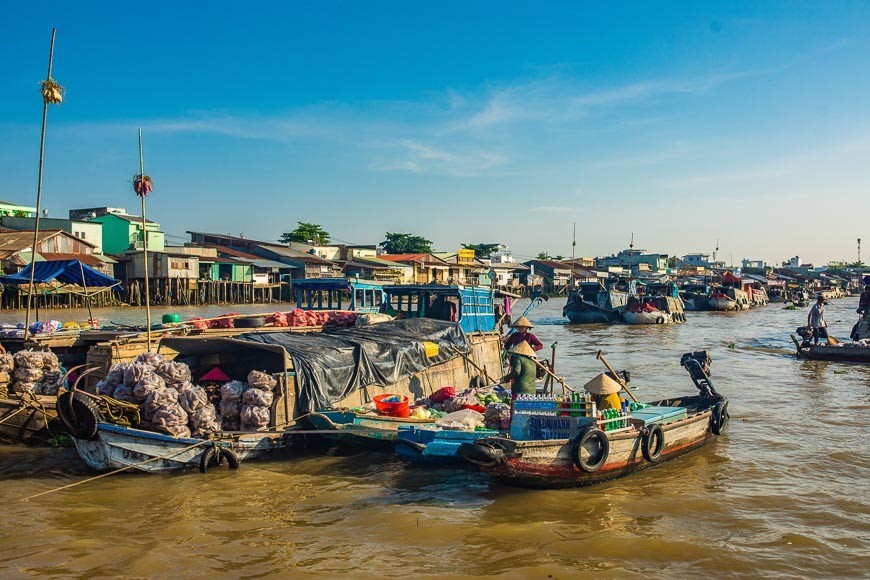
| In recent years, boating on Nho Que River has become an indispensable experience among many tourists. Visitors can start their boating journey from the boat station of Ta Lang or Xin Vai (Meo Vac District). Photo: Nhan Dan |
 |
| Floating on the vast emerald river amidst the majestic 800-meter-high abyss alley will surely leave tourists with special emotion. Photo: Nhan Dan |
 |
| The area of the Vietnam-China border. In photo shows the image of the H’Mong group in Seo Lung village is working on fields. Photo: Nhan Dan |
 |
| Sung Chia Na from Seo Lung Village, the farthest one in Northernmost Vietnam is taking a rest. He previously participated in surveying during the negotiating period of delimiting the Vietnam-China border. Photo: Nhan Dan |
 |
| A road was built down to Nho Que River to serve transportation. Photo: Nhan Dan |
 |
| Tu San Abyss Alley viewed from Happy Road. In 2013, the master plan for Dong Van Karst Plateau Global Geopark for the period 2012-2022 with the vision to 2030 was announced. Accordingly, the cable car system and bridge will be constructed to serve guests admiring Tu San abyss and Nho Que River. Photo: Nhan Dan |
|
| Also as a part of the plan, adventure climbing will be soon available to exploration lovers. In the photo is a bar overlooking the Tu San Abyss Alley. Photo: Nhan Dan |
 | 7 ideal choices for admiring ripening rice fields in northern Vietnam Vietnam, dubbed the agricultural country with rice is the main staple, is endowed with countless rice paddy fields across the country. The ripening rice season, ... |
 | Uncharted Island with one shoal, two coastlines in northern Vietnam Dao Tu Do (Freedom Island) at Lan Ha Bay, to the southeast of Cat Ba Town, is unique for having a shoal with a beach ... |
 | Northern Vietnam forecasted to brace for torrential rains, flash floods and landslides Vietnam’s northern provinces have been warned about torrential rains, flash floods and landslides in the coming days. |


Related Stories
 National
Vietnam News Today (May 22): Stronger Vietnam-Israel Cooperation Expected in Science, Innovation and Labor
 Travel
Vietnam Through Australian Eyes: Land of Flavor, Warmth, and Timeless Charm
 Travel
Vietnam Welcomes Record-High Number of International Visitors
 Travel
Luxury Train From Hanoi To Hai Phong To Be Launched In May
Recommended
 Travel
Strategies for Sustainable Growth of Vietnam’s Tourism from International Markets
 Travel
Vietnam Strengthens Its Presence On The Global Tourism Map
 Multimedia
Phong Nha-Ke Bang National Park Named Top Adventure Travel Site
 Travel
Phong Nha Named Top Budget-Friendly Travel Destination for Spring 2025: Agoda
Popular article
 Travel
Four Indian Films Introduced to Lao Cai Audience
 Travel
Vietnam to Waive Visas for Citizens from 12 Countries until 2028
 Travel
Ninh Binh Full-day Tour among World’s Top Experiences: TripAdvisor
 Travel